File:NY-32.svg
Jump to navigation
Jump to search

Size of this PNG preview of this SVG file: 600 × 600 pixels. Other resolutions: 240 × 240 pixels | 480 × 480 pixels | 768 × 768 pixels | 1,024 × 1,024 pixels | 2,048 × 2,048 pixels.
Original file (SVG file, nominally 600 × 600 pixels, file size: 6 KB)
Captions
Captions
Add a one-line explanation of what this file represents
Summary
[edit]
| Description |
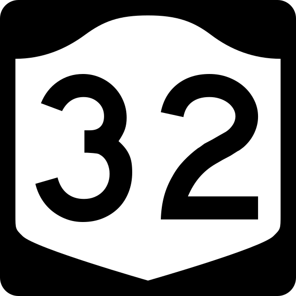
English: Diagram of a 600 mm by 600 mm (24 in by 24 in) route marker for New York State Route 32, made to the specifications of the Manual on Uniform Traffic Control Devices (MUTCD), 2009 Edition (sign M1-5; p. 143) and the 2010 New York state supplement to the MUTCD (signs NYM3-1, NYM3-2, and NYM3-3; pp. 73, 256). Uses the Roadgeek 2005 fonts. (United States law does not permit the copyrighting of typeface designs, and the fonts are meant to be copies of a U.S. Government-produced work anyway.) |
| Date | |
| Source | Own work |
| Author | TwinsMetsFan |
| Permission (Reusing this file) |
Public Domain |
Licensing
[edit]
This file is in the public domain because it comes from the New York State Supplement to the Manual on Uniform Traffic Control Devices, sign number NYM3-1. The NYS Supplement states on page 11 that "effective September 13, 2007, the provisions of the MUTCD were formally adopted by the State of New York." The federal MUTCD states specifically on page I-1 that:
No provisions of the supplement supersede this provision of the MUTCD. |
File history
Click on a date/time to view the file as it appeared at that time.
| Date/Time | Thumbnail | Dimensions | User | Comment | |
|---|---|---|---|---|---|
| current | 14:09, 25 June 2009 | | 600 × 600 (6 KB) | TwinsMetsFan (talk | contribs) | new version based on the NY MUTCD supplement |
| 17:05, 8 October 2006 |  | 600 × 600 (8 KB) | TwinsMetsFan (talk | contribs) | {{Information |Description=600 mm by 600 mm (24 in by 24 in) New York shield, made to the specifications of the Manual on Uniform Traffic Control Devices (MUTCD), 2003 Edition (sign M1-5). Uses the Roadgeek 2005 fonts. (United States law does not permit t |
You cannot overwrite this file.
File usage on Commons
The following 4 pages use this file:
File usage on other wikis
The following other wikis use this file:
- Usage on de.wikipedia.org
- Usage on en.wikipedia.org
- Orange County, New York
- Ulster County, New York
- Interstate 87 (New York)
- New York State Route 17
- List of state routes in New York
- New York State Thruway
- New York State Route 5
- U.S. Route 6
- New York State Route 28
- New York State Route 32
- New York State Route 2
- U.S. Route 9W
- Interstate 787
- Interstate 84 (Pennsylvania–Massachusetts)
- New York State Route 199
- New York State Route 9L
- New York State Route 300
- List of highways numbered 32
- New York State Route 335
- New York State Route 17K
- New York State Route 52
- New York State Route 94
- New York State Route 208
- New York State Route 55
- New York State Route 155
- New York State Route 32A
- New York State Route 299
- New York State Route 146
- New York State Route 212
- New York State Route 213
- New York State Route 31F
- User:Nyletak/New York Routes
- U.S. Route 20 in New York
- New York State Route 50
- New York State Route 23
- New York State Route 29
- New York State Route 67
- New York State Route 378
- New York State Route 197
- U.S. Route 9 in New York
- New York State Route 423
- List of crossings of the Hudson River
- New York State Route 470
- New York State Route 254
- New York State Route 23A
- New York State Route 81
- New York State Route 144
- New York State Route 143
- New York State Route 196
View more global usage of this file.