File:NY-24.svg
Jump to navigation
Jump to search

Size of this PNG preview of this SVG file: 600 × 600 pixels. Other resolutions: 240 × 240 pixels | 480 × 480 pixels | 768 × 768 pixels | 1,024 × 1,024 pixels | 2,048 × 2,048 pixels.
Original file (SVG file, nominally 600 × 600 pixels, file size: 4 KB)
Captions
Captions
Add a one-line explanation of what this file represents
Summary
[edit]
| Description |
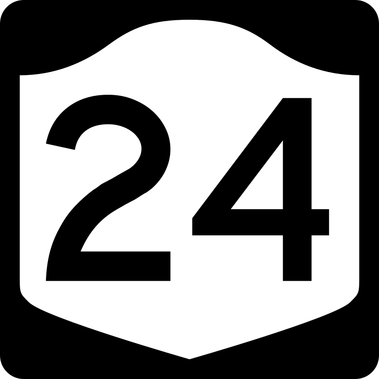
English: Diagram of a 600 mm by 600 mm (24 in by 24 in) route marker for New York State Route 24, made to the specifications of the Manual on Uniform Traffic Control Devices (MUTCD), 2009 Edition (sign M1-5; p. 143) and the 2010 New York state supplement to the MUTCD (signs NYM3-1, NYM3-2, and NYM3-3; pp. 73, 256). Uses the Roadgeek 2005 fonts. (United States law does not permit the copyrighting of typeface designs, and the fonts are meant to be copies of a U.S. Government-produced work anyway.) |
| Date | |
| Source | Own work |
| Author | TwinsMetsFan |
| Permission (Reusing this file) |
Public Domain |
Licensing
[edit]
This file is in the public domain because it comes from the New York State Supplement to the Manual on Uniform Traffic Control Devices, sign number NYM3-1. The NYS Supplement states on page 11 that "effective September 13, 2007, the provisions of the MUTCD were formally adopted by the State of New York." The federal MUTCD states specifically on page I-1 that:
No provisions of the supplement supersede this provision of the MUTCD. |
File history
Click on a date/time to view the file as it appeared at that time.
| Date/Time | Thumbnail | Dimensions | User | Comment | |
|---|---|---|---|---|---|
| current | 14:01, 25 June 2009 | | 600 × 600 (4 KB) | TwinsMetsFan (talk | contribs) | new version based on the NY MUTCD supplement |
| 03:32, 22 September 2006 |  | 600 × 600 (6 KB) | TwinsMetsFan (talk | contribs) | enlarged numbering to 320px | |
| 21:04, 15 September 2006 |  | 600 × 600 (6 KB) | TwinsMetsFan (talk | contribs) | {{Information |Description=600 mm by 600 mm (24 in by 24 in) New York shield, made to the specifications of the Manual on Uniform Traffic Control Devices (MUTCD), 2003 Edition (sign M1-5). Uses the Roadgeek 2005 fonts. (United States law does not permit t |
You cannot overwrite this file.
File usage on Commons
The following 2 pages use this file:
File usage on other wikis
The following other wikis use this file:
- Usage on de.wikipedia.org
- Usage on en.wikipedia.org
- Long Island
- Hempstead, New York
- Babylon, New York
- Southampton, New York
- Brookhaven, New York
- List of state routes in New York
- Interstate 495 (New York)
- Cross Island Parkway
- Montauk Highway
- Interstate 295 (New York)
- List of highways numbered 24
- New York State Route 25
- Meadowbrook State Parkway
- New York State Route 27
- Grand Central Parkway
- Wantagh State Parkway
- Bethpage State Parkway
- New York State Route 106
- New York State Route 24
- User:Nyletak/New York Routes
- New York State Route 109
- New York State Route 107
- New York State Route 102
- Oyster Bay, New York
- County Route 94 (Suffolk County, New York)
- New York State Route 110
- County Route 104 (Suffolk County, New York)
- New York State Route 23B
- Glen Cove Road
- County Route 105 (Suffolk County, New York)
- Transportation on Long Island
- List of county routes in Suffolk County, New York (51–75)
- New York State Route 135
- County Route 4 (Nassau County, New York)
- Peninsula Boulevard
- User:C16sh/sandbox/NS
- County Route 7 (Nassau County, New York)
- East Meadow Avenue
- Covert Avenue
- Wantagh Avenue
- Usage on es.wikipedia.org
- Usage on fr.wikipedia.org
- Usage on he.wikipedia.org
- Usage on ja.wikipedia.org
- Usage on pt.wikipedia.org
View more global usage of this file.