File:NSG Innerer Oberspreewald Nordfliess 015.JPG
Jump to navigation
Jump to search

Size of this preview: 800 × 584 pixels. Other resolutions: 320 × 234 pixels | 640 × 467 pixels | 1,024 × 748 pixels | 1,280 × 934 pixels | 2,560 × 1,869 pixels | 4,741 × 3,461 pixels.
Original file (4,741 × 3,461 pixels, file size: 15.22 MB, MIME type: image/jpeg)
Captions
Captions
Add a one-line explanation of what this file represents
Summary
[edit]| Description |
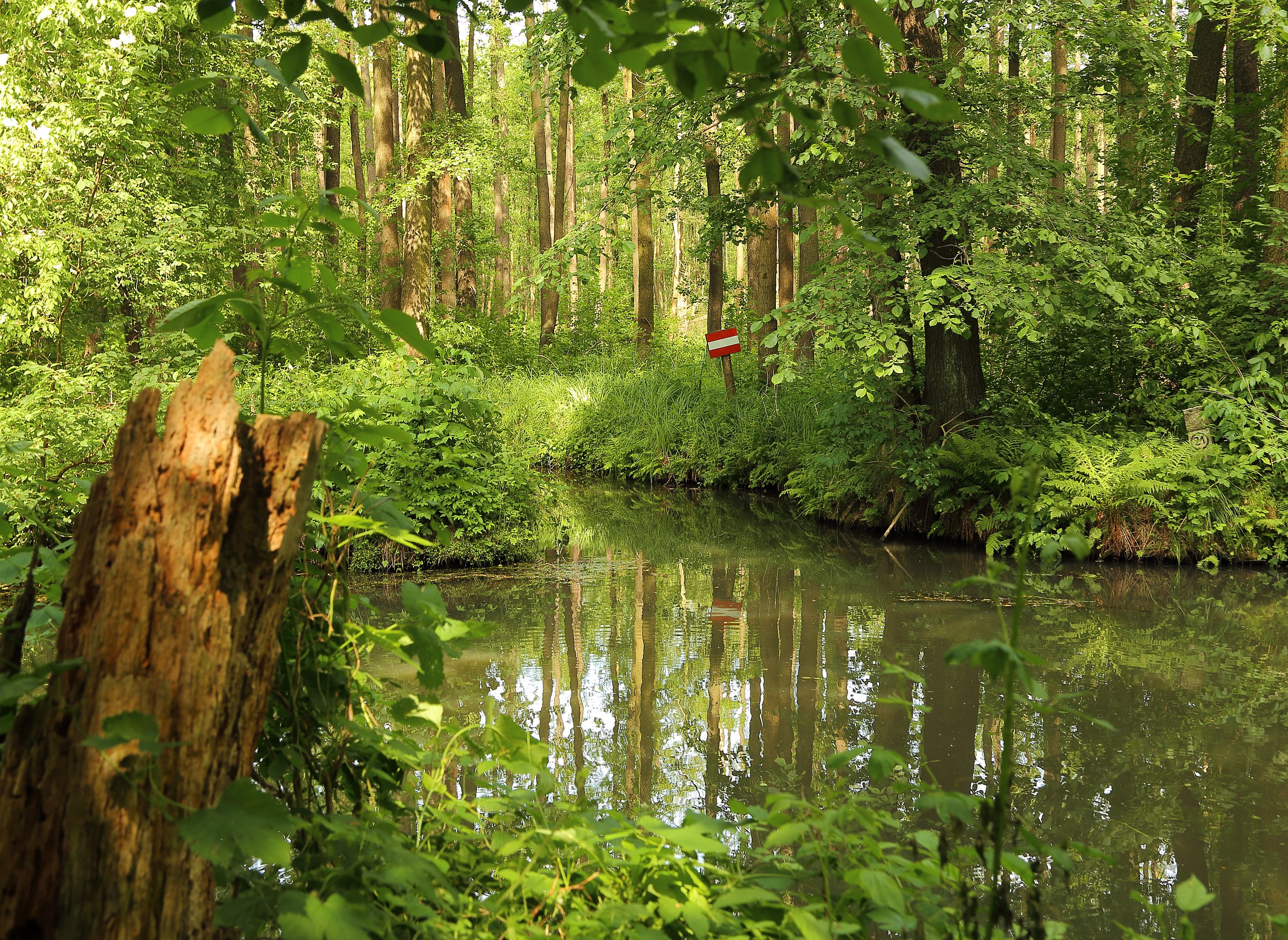
English: The Nordfließ within the nature reserve Innerer Oberspreewald (Naturschutzgebiet Innerer Oberspreewald) near Alt Zauche, Alt Zauche-Wußwerk, Landkreis Dahme-Spreewald, Brandenburg, Germany. Fließ is a typical Spreewald term for stream or beck, so Nordfließ means North[ern] Stream.
Deutsch: Das Nordfließ im Naturschutzgebiet Innerer Oberspreewald auf dem Gebiet der Gemeinde Alt Zauche-Wußwerk, Landkreis Dahme-Spreewald, Brandenburg, Deutschland.
|
||||||||||||||||||||||||||
| Date | |||||||||||||||||||||||||||
| Source | Own work | ||||||||||||||||||||||||||
| Author |
|
||||||||||||||||||||||||||

| Camera location | | View this and other nearby images on: OpenStreetMap |
|---|
This image was uploaded as part of Wiki Loves Earth 2016.
|
 |
Licensing
[edit]
This file is licensed under the Creative Commons Attribution 4.0 International license.
- You are free:
- to share – to copy, distribute and transmit the work
- to remix – to adapt the work
- Under the following conditions:
- attribution – You must give appropriate credit, provide a link to the license, and indicate if changes were made. You may do so in any reasonable manner, but not in any way that suggests the licensor endorses you or your use.
File history
Click on a date/time to view the file as it appeared at that time.
| Date/Time | Thumbnail | Dimensions | User | Comment | |
|---|---|---|---|---|---|
| current | 14:20, 24 May 2016 | | 4,741 × 3,461 (15.22 MB) | J.-H. Janßen (talk | contribs) | {{Information |Description={{en|1=The ''Nordfließ'' within the nature reserve ''Innerer Oberspreewald'' (''Naturschutzgebiet Innerer Oberspreewald'') near Neu Zauche, [[:Category:Landkreis Dahme-Spreewald|Landkreis Dahme-Spre... |
You cannot overwrite this file.
File usage on Commons
The following 3 pages use this file:
File usage on other wikis
The following other wikis use this file:
- Usage on de.wikipedia.org
- Liste der Naturschutzgebiete in Brandenburg
- Liste der Naturschutzgebiete im Landkreis Dahme-Spreewald
- Liste der Naturschutzgebiete im Landkreis Oberspreewald-Lausitz
- Liste der Naturschutzgebiete im Landkreis Teltow-Fläming
- Innerer Oberspreewald
- Benutzer:Derzno/FFH Gebiete in Brandenburg
- Benutzer:Derzno/Naturschutzgebiete in Brandenburg
- Benutzer:Z thomas/BB-OSL-Lübbenau/Spreewald
- Benutzer:Z thomas/BB-OSL-Vetschau/Spreewald
- Usage on ro.wikipedia.org
- Usage on www.wikidata.org