File:NSG 1635009 Ederauen zwischen Bergheim und Wega 2022-06-10 e.JPG
Jump to navigation
Jump to search

Size of this preview: 800 × 600 pixels. Other resolutions: 320 × 240 pixels | 640 × 480 pixels | 1,024 × 768 pixels | 1,280 × 960 pixels | 2,560 × 1,920 pixels | 3,648 × 2,736 pixels.
Original file (3,648 × 2,736 pixels, file size: 4.04 MB, MIME type: image/jpeg)
Captions
Captions
Add a one-line explanation of what this file represents
Summary
[edit]
| Description |
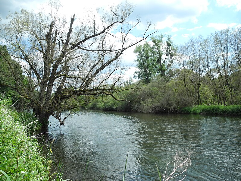
Deutsch: Naturschutzgebiet im Regierungsbezirk Kassel 1635009.
„Ederauen zwischen Bergheim und Wega“, Flussabschnitt der Eder mit den angrenzenden Uferbereichen, zwischen den Orten Bergheim und Wega, im Landkreis Waldeck-Frankenberg, Hessen, Deutschland. Am nördlichen Rand des NSG - zwischen den 2001/2004 angelegten 2 Sohlgleiten bei Wellen. |
| Date | |
| Source | Own work |
| Author | Baummapper |
This file is licensed under the Creative Commons Attribution-Share Alike 3.0 Germany license.
- You are free:
- to share – to copy, distribute and transmit the work
- to remix – to adapt the work
- Under the following conditions:
- attribution – You must give appropriate credit, provide a link to the license, and indicate if changes were made. You may do so in any reasonable manner, but not in any way that suggests the licensor endorses you or your use.
- share alike – If you remix, transform, or build upon the material, you must distribute your contributions under the same or compatible license as the original.

This file is licensed under the Creative Commons Attribution-Share Alike 3.0 Unported license.
- You are free:
- to share – to copy, distribute and transmit the work
- to remix – to adapt the work
- Under the following conditions:
- attribution – You must give appropriate credit, provide a link to the license, and indicate if changes were made. You may do so in any reasonable manner, but not in any way that suggests the licensor endorses you or your use.
- share alike – If you remix, transform, or build upon the material, you must distribute your contributions under the same or compatible license as the original.
File history
Click on a date/time to view the file as it appeared at that time.
| Date/Time | Thumbnail | Dimensions | User | Comment | |
|---|---|---|---|---|---|
| current | 17:00, 10 June 2022 | | 3,648 × 2,736 (4.04 MB) | Baummapper (talk | contribs) | {{Information |Description={{de|1=Naturschutzgebiet im Regierungsbezirk Kassel 1635009. „Ederauen zwischen Bergheim und Wega“, Flussabschnitt der Eder mit den angrenzenden Uferbereichen, zwischen den Orten Bergheim und Wega, im Landkreis Waldeck-Frankenberg, Hessen, Deutschland. Am nördlichen Rand des NSG - zwischen... |
You cannot overwrite this file.
File usage on Commons
There are no pages that use this file.