File:NPS rocky-mountain-kawuneeche-trail-map.gif
Jump to navigation
Jump to search

Size of this preview: 478 × 600 pixels. Other resolutions: 191 × 240 pixels | 383 × 480 pixels | 612 × 768 pixels | 1,105 × 1,386 pixels.
Original file (1,105 × 1,386 pixels, file size: 114 KB, MIME type: image/gif, 0.1 s)
Captions
Captions
Add a one-line explanation of what this file represents
Summary
[edit]
| Description |
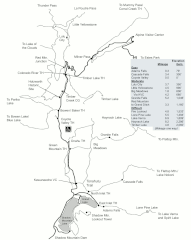
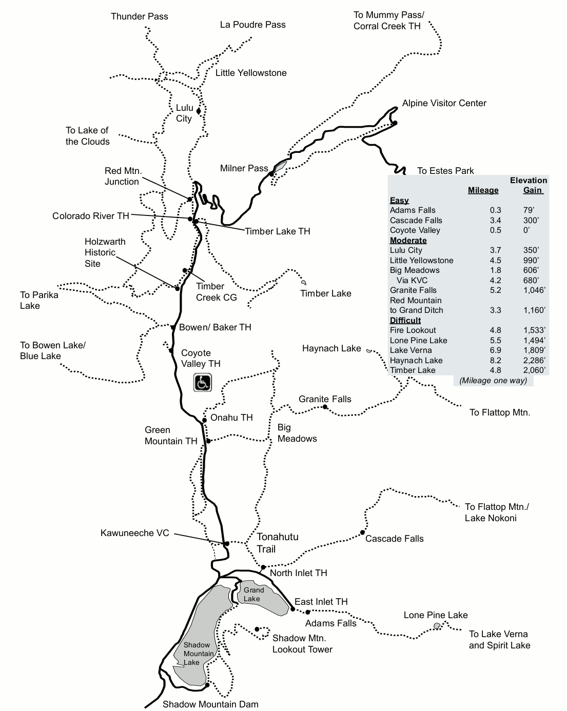
English: Kawuneeche Valley trail map, showing trails on the west end of Trail Ridge Road past the Alpine Visitor Center. Here is more quiet and relaxed than the east side, and you’ll probably see moose! |
| Date | |
| Source | U.S. National Park Service (http://npmaps.com/wp-content/uploads/rocky-mountain-kawuneeche-trail-map.gif) |
| Author | U.S. National Park Service, restoration/cleanup by Matt Holly |
Licensing
[edit]
| This image or media file contains material based on a work of a National Park Service employee, created as part of that person's official duties. As a work of the U.S. federal government, such work is in the public domain in the United States. See the NPS website and NPS copyright policy for more information. |
File history
Click on a date/time to view the file as it appeared at that time.
| Date/Time | Thumbnail | Dimensions | User | Comment | |
|---|---|---|---|---|---|
| current | 02:06, 17 May 2017 | | 1,105 × 1,386 (114 KB) | RKBot (talk | contribs) | =={{int:filedesc}}== {{Information |description= {{en|1=Kawuneeche Valley trail map, showing trails on the west end of Trail Ridge Road past the Alpine Visitor Center. Here is more quiet and relaxed than the east side, and you’ll probably see moose!}... |
You cannot overwrite this file.
File usage on Commons
There are no pages that use this file.