File:NPS isle-royale-vegetation-map.gif
Jump to navigation
Jump to search

Size of this preview: 800 × 543 pixels. Other resolutions: 320 × 217 pixels | 640 × 435 pixels | 920 × 625 pixels.
Original file (920 × 625 pixels, file size: 36 KB, MIME type: image/gif)
Captions
Captions
Add a one-line explanation of what this file represents
Summary
[edit]
| Description |
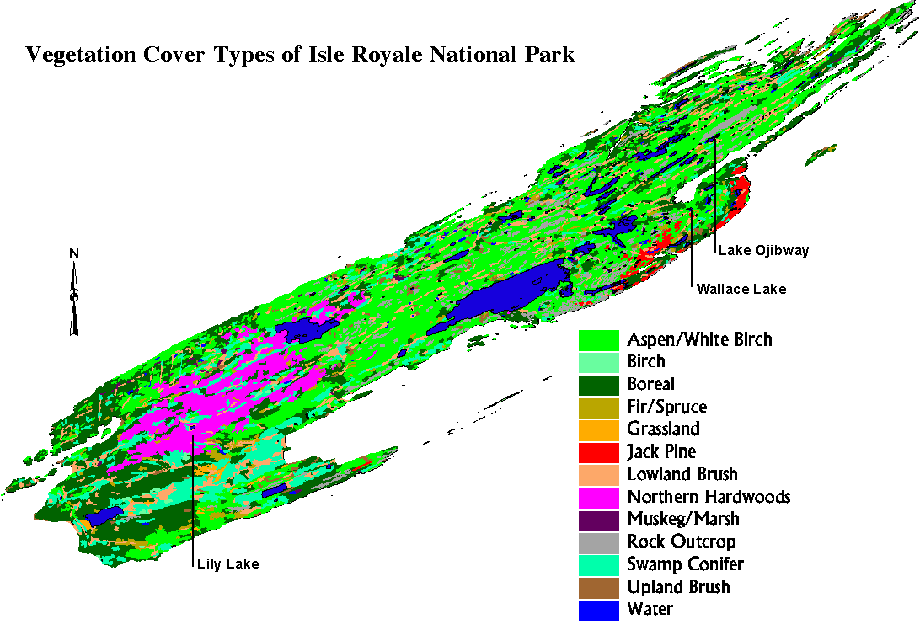
English: This simple Isle Royale vegetation map is admittedly is a bit hard to read but shows a more basic composition of forests across Isle Royale in less detail than the map above, with fewer categories. |
| Date | |
| Source | U.S. National Park Service (http://npmaps.com/wp-content/uploads/isle-royale-vegetation-map.gif) |
| Author | U.S. National Park Service, restoration/cleanup by Matt Holly |
Licensing
[edit]
| This image or media file contains material based on a work of a National Park Service employee, created as part of that person's official duties. As a work of the U.S. federal government, such work is in the public domain in the United States. See the NPS website and NPS copyright policy for more information. |
File history
Click on a date/time to view the file as it appeared at that time.
| Date/Time | Thumbnail | Dimensions | User | Comment | |
|---|---|---|---|---|---|
| current | 23:50, 16 May 2017 | | 920 × 625 (36 KB) | RKBot (talk | contribs) | =={{int:filedesc}}== {{Information |description= {{en|1=This simple Isle Royale vegetation map is admittedly is a bit hard to read but shows a more basic composition of forests across Isle Royale in less detail than the map above, with fewer categories... |
You cannot overwrite this file.
File usage on Commons
The following page uses this file: