File:NPS grand-teton-camping-zone-marion-lake-map.gif
Jump to navigation
Jump to search

Size of this preview: 800 × 459 pixels. Other resolutions: 320 × 184 pixels | 640 × 367 pixels | 1,250 × 717 pixels.
Original file (1,250 × 717 pixels, file size: 165 KB, MIME type: image/gif, 0.1 s)
Captions
Captions
Add a one-line explanation of what this file represents
Summary
[edit]
| Description |
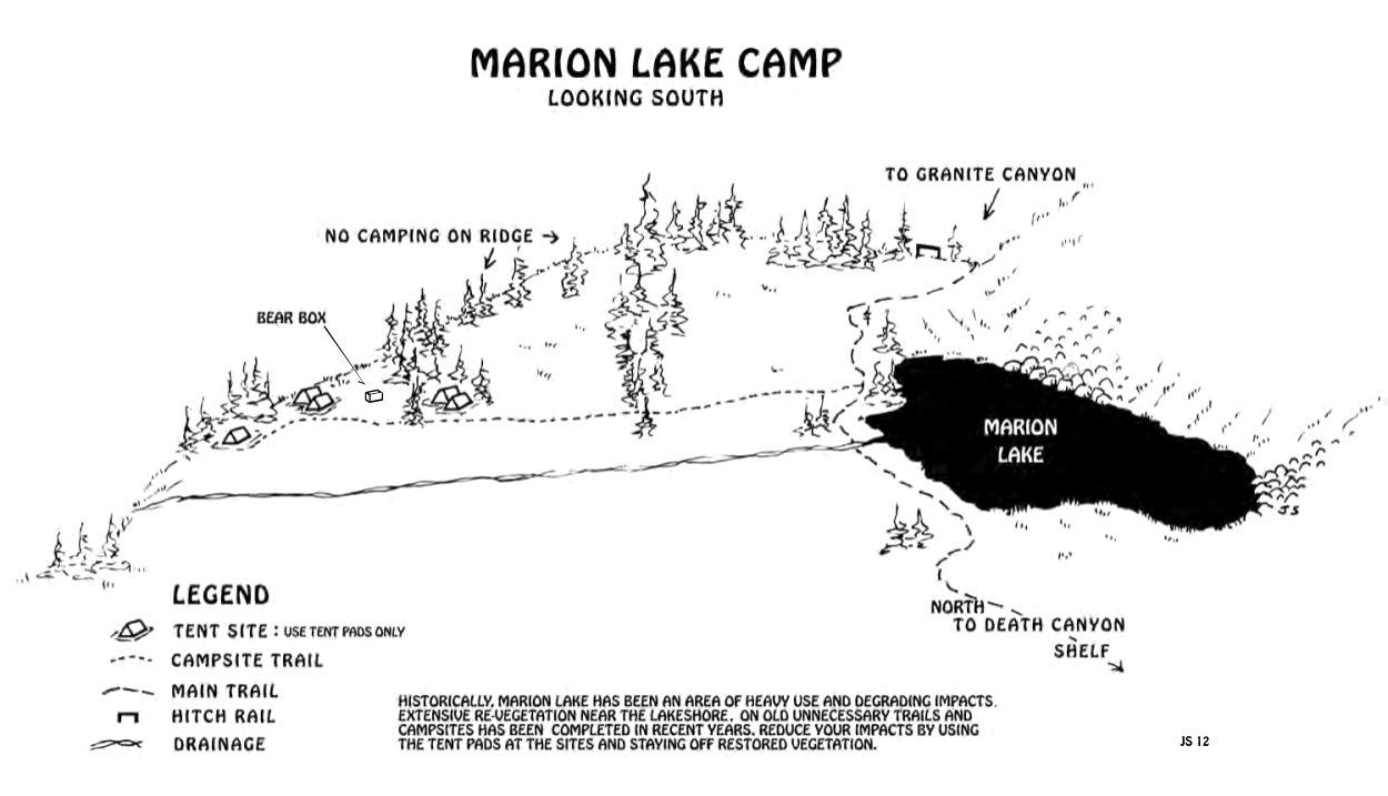
English: Map of the Marion Lake campsite, located in the headwaters west of Granite Canyon in the southwest corner of the park. Camping is only permitted on the provided tent pads. |
| Date | |
| Source | U.S. National Park Service (http://npmaps.com/wp-content/uploads/grand-teton-camping-zone-marion-lake-map.gif) |
| Author | U.S. National Park Service, restoration/cleanup by Matt Holly |
Licensing
[edit]
| This image or media file contains material based on a work of a National Park Service employee, created as part of that person's official duties. As a work of the U.S. federal government, such work is in the public domain in the United States. See the NPS website and NPS copyright policy for more information. |
File history
Click on a date/time to view the file as it appeared at that time.
| Date/Time | Thumbnail | Dimensions | User | Comment | |
|---|---|---|---|---|---|
| current | 23:26, 16 May 2017 | | 1,250 × 717 (165 KB) | RKBot (talk | contribs) | =={{int:filedesc}}== {{Information |description= {{en|1=Map of the Marion Lake campsite, located in the headwaters west of Granite Canyon in the southwest corner of the park. Camping is only permitted on the provided tent pads.}} |date= 2013-11-15 |sou... |
You cannot overwrite this file.
File usage on Commons
The following page uses this file: