File:Näs 1860-tal.jpg
Jump to navigation
Jump to search

Size of this preview: 513 × 600 pixels. Other resolutions: 205 × 240 pixels | 411 × 480 pixels | 682 × 797 pixels.
Original file (682 × 797 pixels, file size: 175 KB, MIME type: image/jpeg)
Captions
Captions
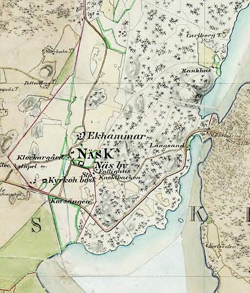
Stockholms-Näs (Kungsängen) in the 1860s
Summary
[edit]
| Description |
English: 1860s map covering the area of present-day Kungsängen in Stockholm County, Sweden. |
| Date | 1860s |
| Source | File:Almarestäk_1860-tal.JPG |
| Author | Lantmäteriet, Häradskartan 1860-talet |
| Camera location | | View this and other nearby images on: OpenStreetMap |
|---|
Licensing
[edit]
|
This work is in the public domain in its country of origin and other countries and areas where the copyright term is the author's life plus 70 years or fewer. This work is in the public domain in the United States because it was published (or registered with the U.S. Copyright Office) before January 1, 1929. | |
| This file has been identified as being free of known restrictions under copyright law, including all related and neighboring rights. | |
File history
Click on a date/time to view the file as it appeared at that time.
| Date/Time | Thumbnail | Dimensions | User | Comment | |
|---|---|---|---|---|---|
| current | 09:48, 6 August 2023 | | 682 × 797 (175 KB) | Hovastro (talk | contribs) | Uploaded a work by Lantmäteriet, Häradskartan 1860-talet from https://commons.wikimedia.org/wiki/File:Almarest%C3%A4k_1860-tal.JPG with UploadWizard |
You cannot overwrite this file.
File usage on Commons
There are no pages that use this file.
File usage on other wikis
The following other wikis use this file:
- Usage on sv.wikipedia.org