File:Mysore map.png
Jump to navigation
Jump to search

Size of this preview: 567 × 600 pixels. Other resolutions: 227 × 240 pixels | 454 × 480 pixels | 726 × 768 pixels | 1,134 × 1,200 pixels.
Original file (1,134 × 1,200 pixels, file size: 1.94 MB, MIME type: image/png)
Captions
Captions
Add a one-line explanation of what this file represents
Summary
[edit]
| Description |
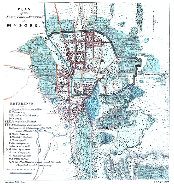
Map of Mysore |
|||||||||
| Date | ||||||||||
| Source | Medical topography and statistics of the Presidency of Madras. Compiled from the records of the Medical Board Office | |||||||||
| Creator |
Unknown author |
|||||||||
| Permission (Reusing this file) |
|
|||||||||
| Geotemporal data | ||||||||||
| Bounding box |
|
|||||||||
| Georeferencing | ||||||||||
File history
Click on a date/time to view the file as it appeared at that time.
| Date/Time | Thumbnail | Dimensions | User | Comment | |
|---|---|---|---|---|---|
| current | 15:16, 26 September 2020 | | 1,134 × 1,200 (1.94 MB) | Shyamal (talk | contribs) | {{Information |Description=Map of Mysore |Source=[https://archive.org/details/b21364357_002/page/n56/mode/1up Medical topography and statistics of the Presidency of Madras. Compiled from the records of the Medical Board Office] |Date=1843 |Author=Unknown |Permission={{pd-old-70}} |other_versions= }} Category:Maps of Mysore |
You cannot overwrite this file.
File usage on Commons
There are no pages that use this file.