File:Myrtle Beach International Airport FAA Diagram.png
Jump to navigation
Jump to search
No higher resolution available.
Myrtle_Beach_International_Airport_FAA_Diagram.png (290 × 445 pixels, file size: 7 KB, MIME type: image/png)
Captions
Captions
Add a one-line explanation of what this file represents
Summary
[edit]
| Description |
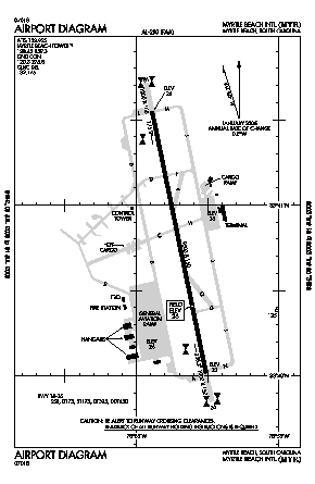
English: A FAA Diagram Myrtle Beach International Airport. |
| Source | http://155.178.201.160/d-tpp/1210/00280AD.PDF |
| Author | w:United Statesw:Federal Aviation Administration |
Licensing
[edit]
| This image is a work of a United States Department of Transportation employee, taken or made as part of that person's official duties. As a work of the U.S. federal government, the image is in the public domain.
|
File history
Click on a date/time to view the file as it appeared at that time.
| Date/Time | Thumbnail | Dimensions | User | Comment | |
|---|---|---|---|---|---|
| current | 01:32, 17 October 2012 | | 290 × 445 (7 KB) | Sk8terguy27 (talk | contribs) | Uploading a public-domain item using File Upload Wizard |
You cannot overwrite this file.
File usage on Commons
There are no pages that use this file.
File usage on other wikis
The following other wikis use this file:
- Usage on en.wikipedia.org
- Usage on es.wikipedia.org
- Usage on ur.wikipedia.org