File:Mykolaiv Landsat.jpeg
Jump to navigation
Jump to search
Size of this preview: 800 × 600 pixels. Other resolutions: 320 × 240 pixels | 640 × 480 pixels | 1,024 × 768 pixels.
Original file (1,024 × 768 pixels, file size: 238 KB, MIME type: image/jpeg)
Captions
Captions
Add a one-line explanation of what this file represents
Summary
[edit]
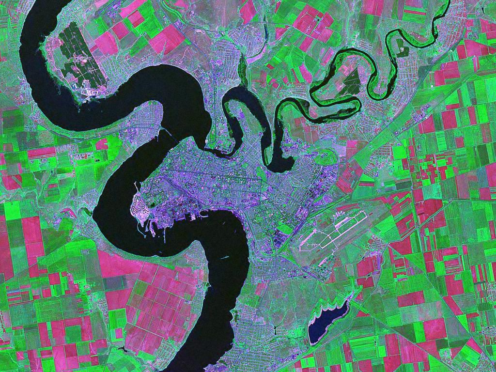
Landsat (false color) satellite photo of Mykolaiv in Ukraine.
Source:zulu.ssc.nasa.gov
Licensing
[edit]
| This file is in the public domain in the United States because it was solely created by NASA. NASA copyright policy states that "NASA material is not protected by copyright unless noted". (See Template:PD-USGov, NASA copyright policy page or JPL Image Use Policy.) | ||
 |
Warnings:
|
File history
Click on a date/time to view the file as it appeared at that time.
| Date/Time | Thumbnail | Dimensions | User | Comment | |
|---|---|---|---|---|---|
| current | 15:29, 24 October 2006 | | 1,024 × 768 (238 KB) | Balcer~commonswiki (talk | contribs) | Landsat (false color) satellite photo of Mykolaiv in Ukraine. Source:zulu.ssc.nasa.gov Category:Mykolaiv Category:Black Sea Category:Satellite pictures of Ukraine == Licensing == {{PD-USGov-NASA}} |
You cannot overwrite this file.
File usage on Commons
There are no pages that use this file.
File usage on other wikis
The following other wikis use this file:
- Usage on ba.wikipedia.org
- Usage on cs.wikipedia.org
- Usage on it.wikipedia.org
- Usage on ru.wikipedia.org
- Usage on sah.wikipedia.org