File:Mussel Knoll.jpg
Jump to navigation
Jump to search

Size of this preview: 800 × 450 pixels. Other resolutions: 320 × 180 pixels | 640 × 360 pixels | 1,024 × 576 pixels | 1,280 × 720 pixels | 2,816 × 1,584 pixels.
Original file (2,816 × 1,584 pixels, file size: 1.36 MB, MIME type: image/jpeg)
Captions
Captions
Add a one-line explanation of what this file represents
|
This is an image of a place or building that is listed on the National Register of Historic Places in the United States of America. Its reference number is 86000454. |
| Camera location | | View this and other nearby images on: OpenStreetMap |
|---|
| Description |
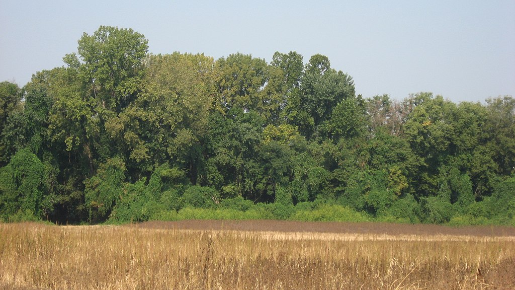
English: View from River Road of the eastern side of Mussel Knoll, located on the bank of the Wabash River west of the townsite of Skelton in Wabash Township, Gibson County, Indiana, United States. One of Gibson County's leading archaeological sites, it is listed on the National Register of Historic Places. |
||
| Date | Taken on 3 September 2011 | ||
| Source | Own work | ||
| Author | Nyttend | ||
| Permission (Reusing this file) |
|
File history
Click on a date/time to view the file as it appeared at that time.
| Date/Time | Thumbnail | Dimensions | User | Comment | |
|---|---|---|---|---|---|
| current | 17:22, 5 September 2011 | | 2,816 × 1,584 (1.36 MB) | Nyttend (talk | contribs) | {{Location|38|20|25|N|87|47|22|W}} {{Information |Description={{en|View from River Road of the eastern side of {{w|Mussel Knoll}}, located on the bank of the {{w|Wabash River}} west of the townsite of {{w|Skelton, Indiana|Skelton}} in {{w|Wabash Township, |
You cannot overwrite this file.
File usage on Commons
There are no pages that use this file.
File usage on other wikis
The following other wikis use this file: