File:Municipios de Tamaulipas.jpg
Jump to navigation
Jump to search
Size of this preview: 345 × 599 pixels. Other resolutions: 138 × 240 pixels | 400 × 695 pixels.
Original file (400 × 695 pixels, file size: 36 KB, MIME type: image/jpeg)
Captions
Captions
Add a one-line explanation of what this file represents

|
This locator map image could be re-created using vector graphics as an SVG file. This has several advantages; see Commons:Media for cleanup for more information. If an SVG form of this image is available, please upload it and afterwards replace this template with
{{vector version available|new image name}}.
It is recommended to name the SVG file “Municipios de Tamaulipas.svg”—then the template Vector version available (or Vva) does not need the new image name parameter. |


Summary
[edit]
| Description |
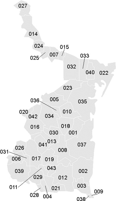
Español: Mapa de los Municipios del estado de Tamaulipas, México.
English: Map of the Municipalties of the State of Tamaulipas, México. |
| Date | |
| Source | Own work |
| Author | Battroid |
| Permission (Reusing this file) |
I, the copyright holder of this work, hereby publish it under the following license: This file is licensed under the Creative Commons Attribution-Share Alike 2.5 Generic license.
|
File history
Click on a date/time to view the file as it appeared at that time.
| Date/Time | Thumbnail | Dimensions | User | Comment | |
|---|---|---|---|---|---|
| current | 02:09, 14 July 2006 | | 400 × 695 (36 KB) | Battroid (talk | contribs) | == Summary == {{Information| |Description=*{{es icon}} Mapa de los Municipios del estado de Tamaulipas, México. *{{en icon}} Map of the Municipalties of the State of Tamaulipas, México. |Source=own work |Date=July 13, 2006 |Author=[[User:Battroid|Battro |
You cannot overwrite this file.
File usage on Commons
There are no pages that use this file.
File usage on other wikis
The following other wikis use this file:
- Usage on es.wiktionary.org
- Usage on qu.wikipedia.org
- Usage on ru.wikipedia.org