File:Municipios Venezuela 2007.svg
Jump to navigation
Jump to search

Size of this PNG preview of this SVG file: 753 × 599 pixels. Other resolutions: 302 × 240 pixels | 603 × 480 pixels | 965 × 768 pixels | 1,280 × 1,019 pixels | 2,560 × 2,037 pixels | 1,994 × 1,587 pixels.
Original file (SVG file, nominally 1,994 × 1,587 pixels, file size: 6.41 MB)
Captions
Captions
Add a one-line explanation of what this file represents
Summary
[edit]
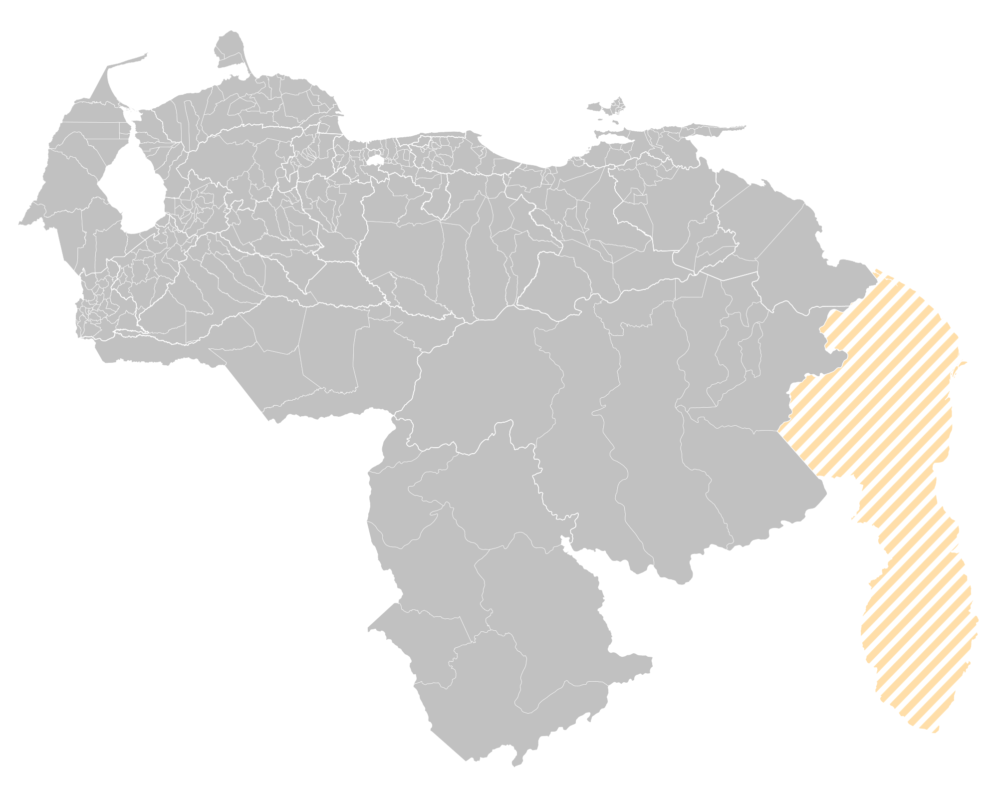
| Description | Municipios de Venezuela en 2007 |
| Source | Own work |
| Author | Dove |
| Other versions |
Derivative works of this file: |
This W3C-unspecified vector image was created with Inkscape .
Licensing
[edit]
| I, the copyright holder of this work, release this work into the public domain. This applies worldwide. In some countries this may not be legally possible; if so: I grant anyone the right to use this work for any purpose, without any conditions, unless such conditions are required by law. |
File history
Click on a date/time to view the file as it appeared at that time.
| Date/Time | Thumbnail | Dimensions | User | Comment | |
|---|---|---|---|---|---|
| current | 02:41, 8 September 2024 | | 1,994 × 1,587 (6.41 MB) | Faustino Sojo (talk | contribs) | Corrección |
| 23:52, 6 September 2024 |  | 1,994 × 1,587 (6.4 MB) | Faustino Sojo (talk | contribs) | Nuevo mapa | |
| 18:41, 16 August 2024 |  | 2,025 × 1,664 (818 KB) | Faustino Sojo (talk | contribs) | Actualización | |
| 00:15, 24 October 2015 |  | 1,864 × 1,610 (743 KB) | Milenioscuro (talk | contribs) | limites en gris oscuro | |
| 23:00, 23 October 2015 |  | 1,864 × 1,610 (752 KB) | Milenioscuro (talk | contribs) | sin transparencia | |
| 20:34, 23 October 2015 |  | 1,800 × 1,522 (1.04 MB) | Oscar . (talk | contribs) | Reverted to version as of 23:12, 26 August 2015 (UTC), without claimed area, per npov | |
| 13:26, 22 October 2015 |  | 2,027 × 1,599 (790 KB) | Simon 03 (talk | contribs) | Reverted to version as of 21:06, 7 August 2012 (UTC) | |
| 23:12, 26 August 2015 |  | 1,800 × 1,522 (1.04 MB) | Oscar . (talk | contribs) | Revierto edición de 2012 que incluía la Zona en Reclamación | |
| 21:06, 7 August 2012 |  | 2,027 × 1,599 (790 KB) | Unukalhai (talk | contribs) | Se delinearon las regiones politico administrativas y se añadió la Zona en Reclamación, que por ley debe ser reflejada en todos los mapas oficiales en circulación para uso en Venezuela (por ende, en mapas de uso enciclopedico). | |
| 03:03, 5 October 2008 |  | 1,800 × 1,522 (1.04 MB) | Dove (talk | contribs) | Correciones varias, se colocan las fronteras estatales |
You cannot overwrite this file.
File usage on Commons
The following 4 pages use this file:
.svg)
File usage on other wikis
The following other wikis use this file:
- Usage on en.wikipedia.org
- Usage on es.wikipedia.org
- Usage on fa.wikipedia.org
- Usage on fr.wikipedia.org
- Usage on it.wikipedia.org
- Usage on ka.wikipedia.org
- Usage on nl.wikipedia.org
- Usage on pt.wikipedia.org
- Usage on zh.wikipedia.org