File:Mullerova mapa Moravy 15-Hradčovice.jpg
Jump to navigation
Jump to search
Size of this preview: 800 × 536 pixels. Other resolutions: 320 × 214 pixels | 640 × 428 pixels | 1,024 × 685 pixels | 1,470 × 984 pixels.
Original file (1,470 × 984 pixels, file size: 687 KB, MIME type: image/jpeg)
Captions
Captions
Add a one-line explanation of what this file represents
Summary
[edit]
| Description |
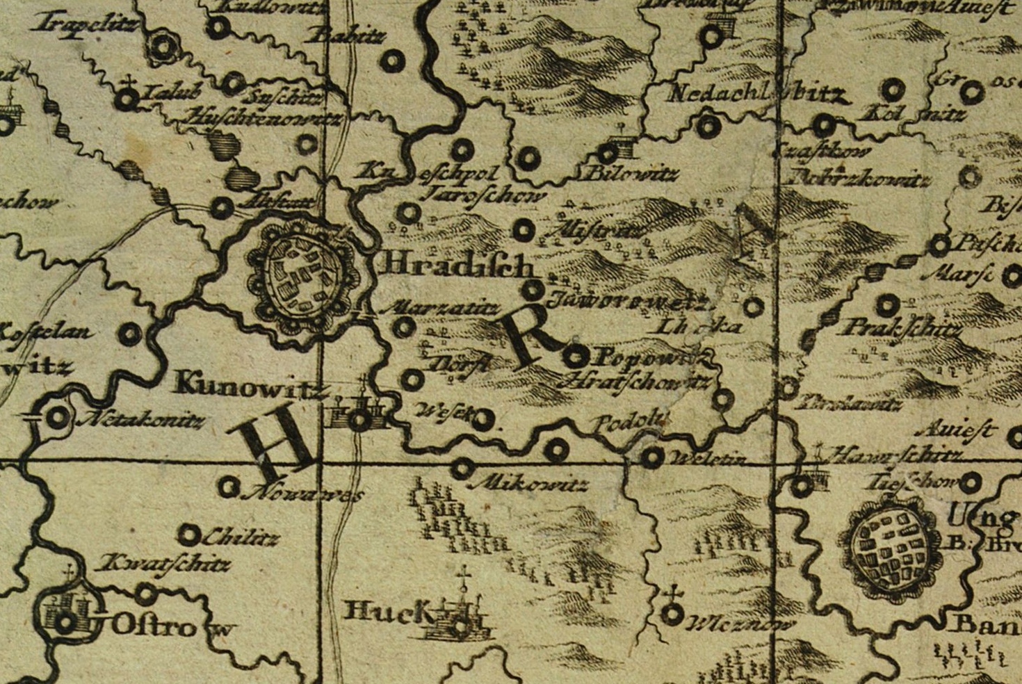
Čeština: Výřez z Müllerovy mapy Moravy, mapový list 15 - oblast mezi Starým Městem a Uherským Brodem. |
|||||||||||||||||||
| Date | ||||||||||||||||||||
| Source | File:Mullerova mapa Moravy 15.jpg | |||||||||||||||||||
| Author |
|
|||||||||||||||||||
Licensing
[edit]
|
This work is in the public domain in its country of origin and other countries and areas where the copyright term is the author's life plus 70 years or fewer. This work is in the public domain in the United States because it was published (or registered with the U.S. Copyright Office) before January 1, 1929. | |
| This file has been identified as being free of known restrictions under copyright law, including all related and neighboring rights. | |
| Annotations | This image is annotated: View the annotations at Commons |
File history
Click on a date/time to view the file as it appeared at that time.
| Date/Time | Thumbnail | Dimensions | User | Comment | |
|---|---|---|---|---|---|
| current | 15:39, 8 April 2018 | | 1,470 × 984 (687 KB) | Gampe (talk | contribs) | User created page with UploadWizard |
You cannot overwrite this file.
File usage on Commons
The following page uses this file:
File usage on other wikis
The following other wikis use this file:
- Usage on cs.wikipedia.org