File:Mullerova mapa Cech 13 Rattay-Katzow.jpg
Original file (1,811 × 1,424 pixels, file size: 2.07 MB, MIME type: image/jpeg)
Captions
Captions
Summary
[edit]
| Description |
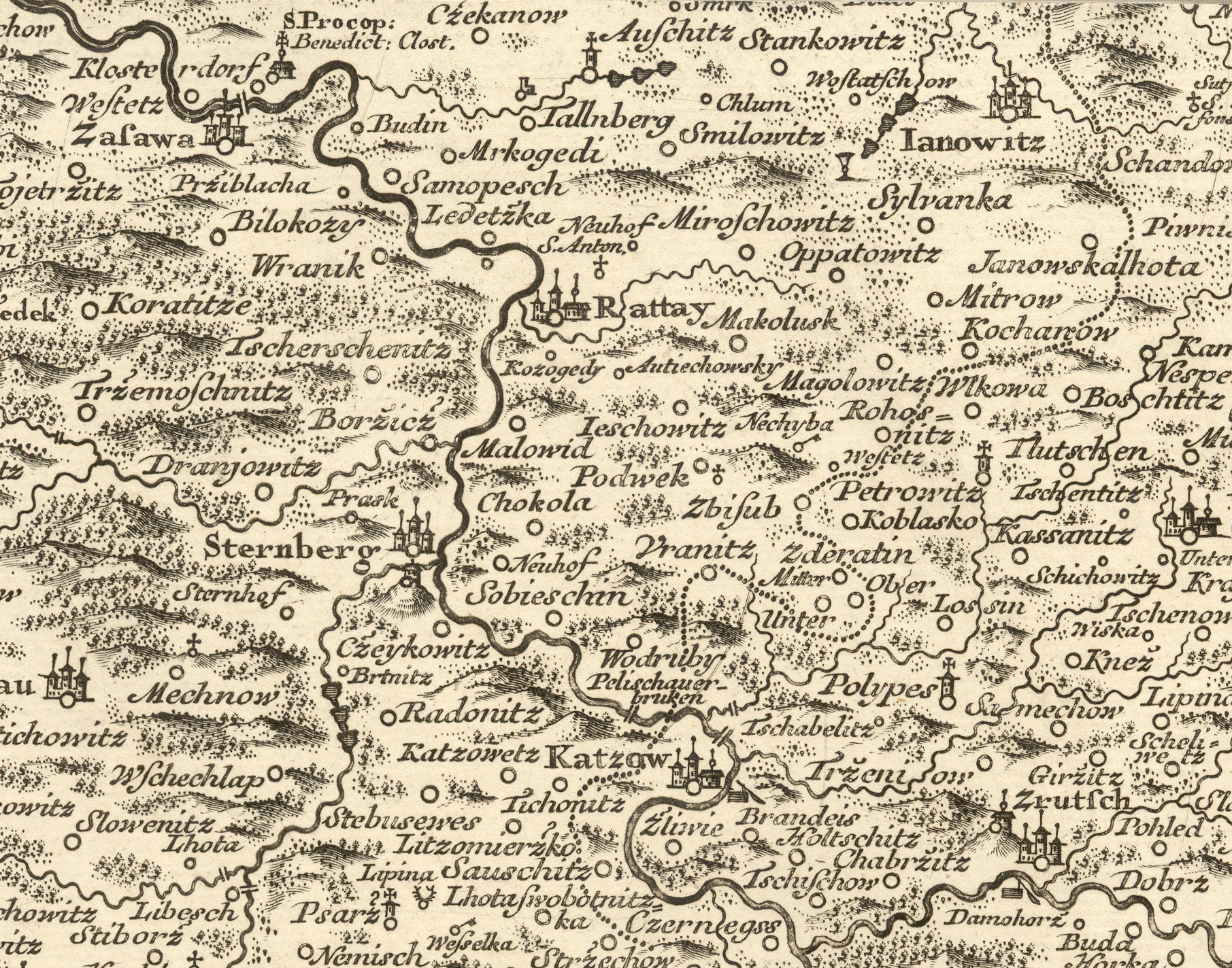
Čeština: Posázaví mezi Ratajemi a Kácovem na Müllerově mapě Čech z roku 1720, detail mapového listu č. 13. |
|||||||||||||||||||
| Date | ||||||||||||||||||||
| Source | File:Mullerova mapa Cech 13.jpg | |||||||||||||||||||
| Author |
|
|||||||||||||||||||
Licensing
[edit]
|
This is a faithful photographic reproduction of a two-dimensional, public domain work of art. The work of art itself is in the public domain for the following reason:
The official position taken by the Wikimedia Foundation is that "faithful reproductions of two-dimensional public domain works of art are public domain".
This photographic reproduction is therefore also considered to be in the public domain in the United States. In other jurisdictions, re-use of this content may be restricted; see Reuse of PD-Art photographs for details. | ||||
| Annotations | This image is annotated: View the annotations at Commons |
File history
Click on a date/time to view the file as it appeared at that time.
| Date/Time | Thumbnail | Dimensions | User | Comment | |
|---|---|---|---|---|---|
| current | 05:48, 14 January 2019 | | 1,811 × 1,424 (2.07 MB) | Gampe (talk | contribs) | User created page with UploadWizard |
You cannot overwrite this file.
File usage on Commons
The following page uses this file:
File usage on other wikis
The following other wikis use this file:
- Usage on cs.wikipedia.org
- Usage on uk.wikipedia.org