File:Mt Iwaki View from Hirosaki City 20210509.jpg
Jump to navigation
Jump to search
Size of this preview: 800 × 576 pixels. Other resolutions: 320 × 231 pixels | 640 × 461 pixels | 1,024 × 738 pixels | 1,280 × 922 pixels | 2,249 × 1,620 pixels.
Original file (2,249 × 1,620 pixels, file size: 2.51 MB, MIME type: image/jpeg)
Captions
Captions
Add a one-line explanation of what this file represents
Summary
[edit]
| Description |
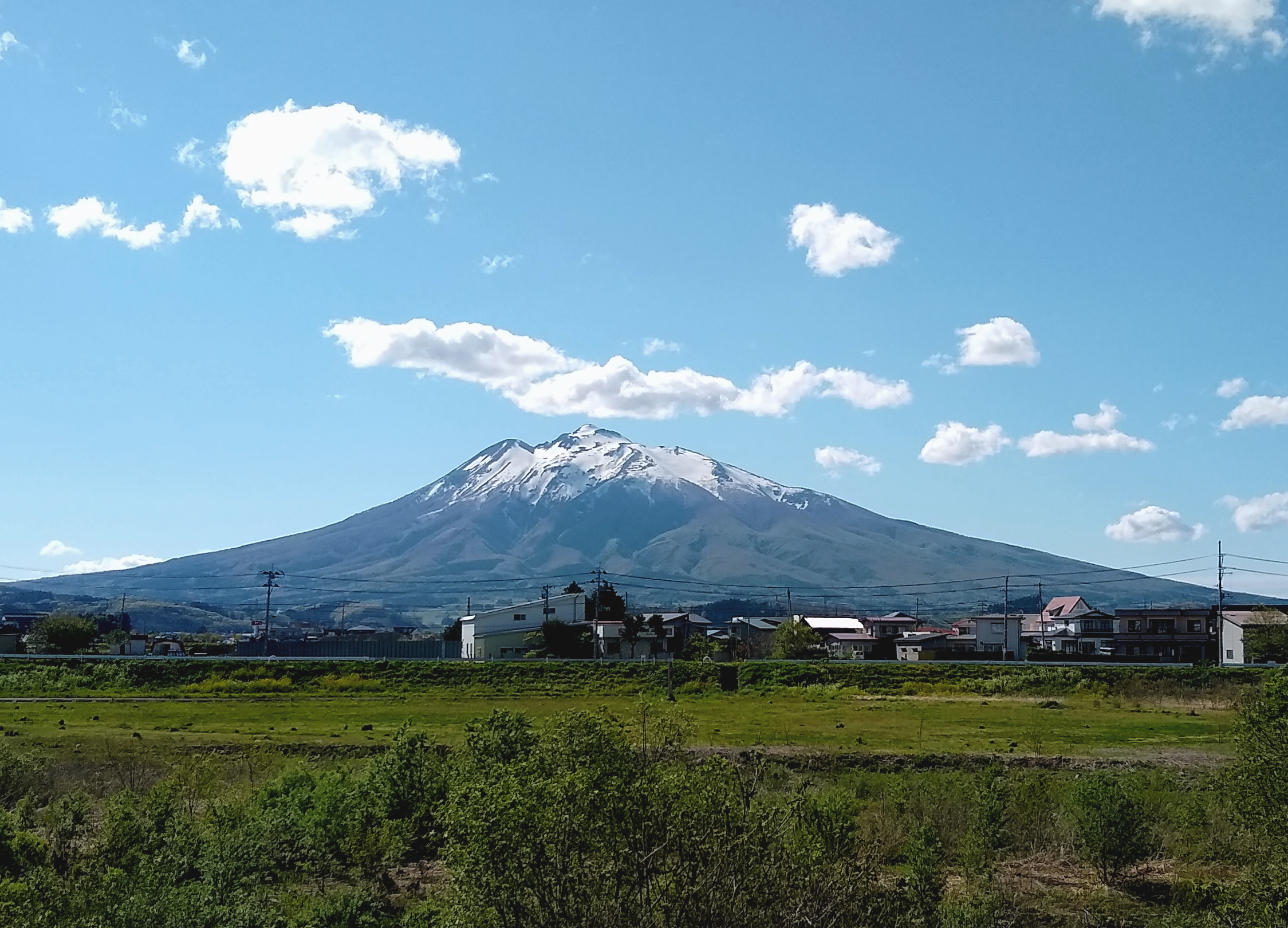
日本語: 岩木山を弘前市から望む |
||
| Date | |||
| Source | Own work (Original text: own work) | ||
| Author | --[[利用者:あおもりくま|あおもりくま]](会話) 2021年5月20日 (木) 09:11 (UTC) | ||
| Permission (Reusing this file) |
|
Licensing
[edit]
--[[利用者:あおもりくま|あおもりくま]](会話) 2021年5月20日 (木) 09:11 (UTC), the copyright holder of this work, hereby publishes it under the following license:
| This file is made available under the Creative Commons CC0 1.0 Universal Public Domain Dedication. | |
| The person who associated a work with this deed has dedicated the work to the public domain by waiving all of their rights to the work worldwide under copyright law, including all related and neighboring rights, to the extent allowed by law. You can copy, modify, distribute and perform the work, even for commercial purposes, all without asking permission.
|
File history
Click on a date/time to view the file as it appeared at that time.
| Date/Time | Thumbnail | Dimensions | User | Comment | |
|---|---|---|---|---|---|
| current | 09:11, 20 May 2021 | | 2,249 × 1,620 (2.51 MB) | あおもりくま (talk | contribs) | {{Information |Description=岩木山を弘前市から望む |Source=own work |Date=2021/05/09 |Location=〒036-8276 青森県弘前市樋の口町/40.603356, 140.443167 |Author=--~~~~ |Permission={{PD-self}} |other_versions= }} |
You cannot overwrite this file.
File usage on Commons
There are no pages that use this file.