File:Mt Gambier LGA.png
Jump to navigation
Jump to search
No higher resolution available.
Mt_Gambier_LGA.png (400 × 456 pixels, file size: 26 KB, MIME type: image/png)
Captions
Captions
Add a one-line explanation of what this file represents
Summary
[edit]
| Description |
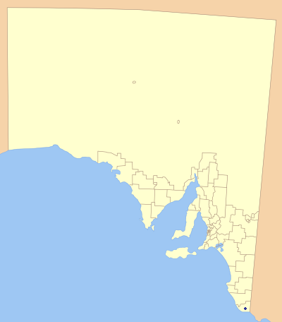
English: Map of LGAs, showing mount gambier council position. A Modification of user Astrokey44 original LGA map found at http://commons.wikimedia.org/wiki/Image:South_Australia_Local_Government_Areas.svg |
| Date | 30 September 2007 (original upload date) |
| Source | Transferred from en.wikipedia |
| Author | Original uploader was Mick 96 at en.wikipedia |
| Permission (Reusing this file) |
Released under the GNU Free Documentation License. |
Licensing
[edit]
I, the copyright holder of this work, hereby publish it under the following license:

|
Permission is granted to copy, distribute and/or modify this document under the terms of the GNU Free Documentation License, Version 1.2 or any later version published by the Free Software Foundation; with no Invariant Sections, no Front-Cover Texts, and no Back-Cover Texts. A copy of the license is included in the section entitled GNU Free Documentation License. |
| This file is licensed under the Creative Commons Attribution-Share Alike 3.0 Unported license. | ||
| ||
| This licensing tag was added to this file as part of the GFDL licensing update. |
Original upload log
[edit]
The original description page was here. All following user names refer to en.wikipedia.
- 2008-02-28 09:24 Mick 96 400×456×8 (26445 bytes) Map of LGAs, showing Mount Gambier council position. A Modification of user Astrokey44 original LGA map found at http://commons.wikimedia.org/wiki/Image:South_Australia_Local_Government_Areas.svg
- 2007-09-30 04:34 Mick 96 400×456×8 (30494 bytes) Map of LGAs, showing mount gambier council position. A Modification of user Astrokey44 original LGA map found at http://commons.wikimedia.org/wiki/Image:South_Australia_Local_Government_Areas.svg
File history
Click on a date/time to view the file as it appeared at that time.
| Date/Time | Thumbnail | Dimensions | User | Comment | |
|---|---|---|---|---|---|
| current | 06:34, 1 March 2008 | | 400 × 456 (26 KB) | Mick 96~commonswiki (talk | contribs) | {{Information |Description= |Source=self-made |Date= |Author= Mick 96 |Permission= |other_versions= }} |
You cannot overwrite this file.
File usage on Commons
There are no pages that use this file.
File usage on other wikis
The following other wikis use this file:
- Usage on en.wikipedia.org
- Usage on fa.wikipedia.org
- Usage on fr.wikipedia.org
- Usage on it.wikipedia.org
- Usage on pt.wikipedia.org
- Usage on www.wikidata.org