File:Mt.Tengunomori.jpg
Jump to navigation
Jump to search
Size of this preview: 800 × 600 pixels. Other resolutions: 320 × 240 pixels | 640 × 480 pixels | 1,024 × 768 pixels | 1,280 × 960 pixels | 2,592 × 1,944 pixels.
Original file (2,592 × 1,944 pixels, file size: 1.04 MB, MIME type: image/jpeg)
Captions
Captions
Add a one-line explanation of what this file represents
Summary
[edit]
| Description |
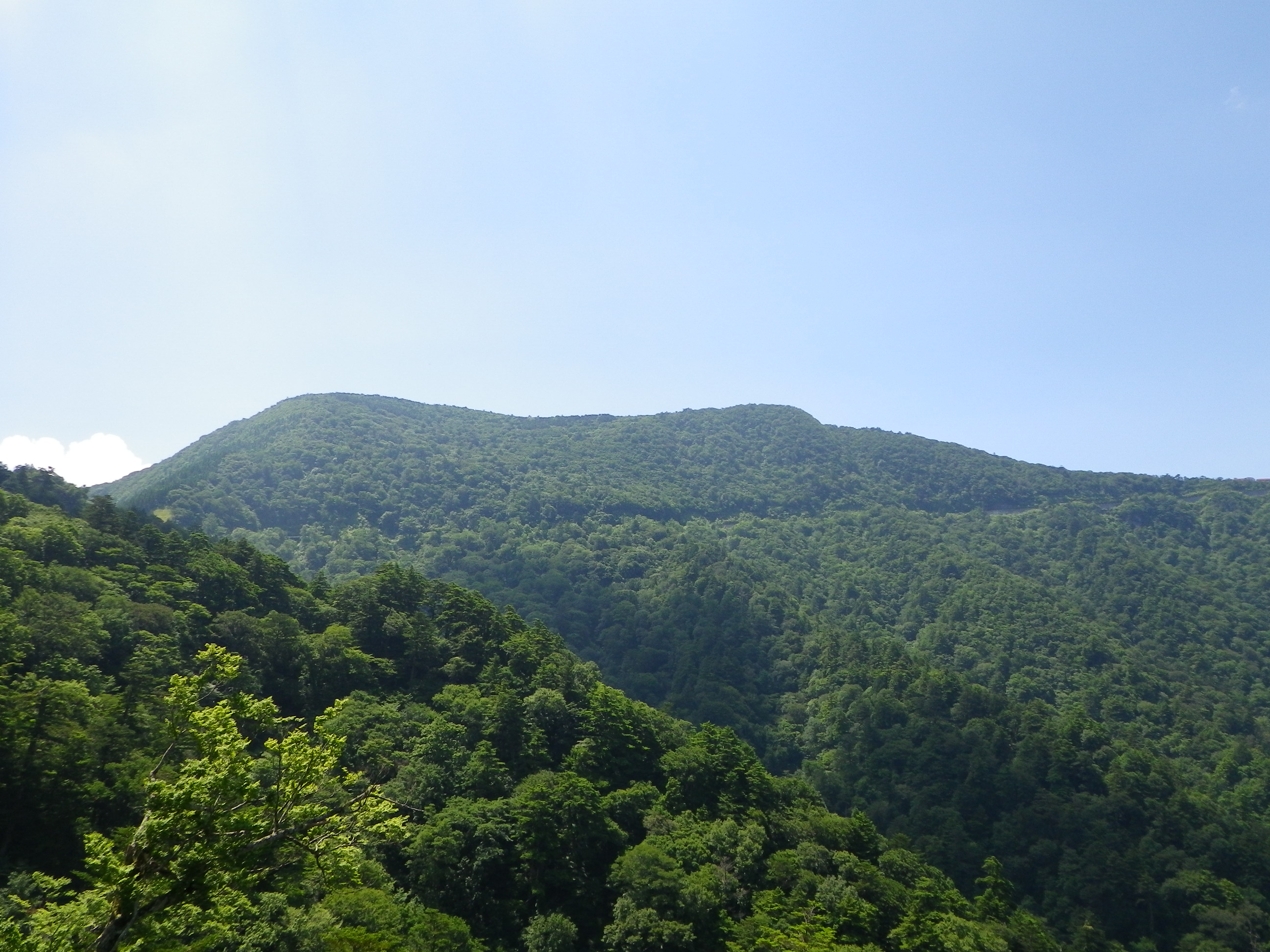
English: Tengunomori peak as seen from the NNW in Tengu Highland on the border between Ehime and Kochi Prefectures, Japan. |
| Date | |
| Source | Own work |
| Author | As6022014 |
| Camera location | | View this and other nearby images on: OpenStreetMap |
|---|
Licensing
[edit]
| I, the copyright holder of this work, release this work into the public domain. This applies worldwide. In some countries this may not be legally possible; if so: I grant anyone the right to use this work for any purpose, without any conditions, unless such conditions are required by law. |
File history
Click on a date/time to view the file as it appeared at that time.
| Date/Time | Thumbnail | Dimensions | User | Comment | |
|---|---|---|---|---|---|
| current | 03:28, 28 July 2010 | | 2,592 × 1,944 (1.04 MB) | As6022014 (talk | contribs) | {{Information |Description={{en|1=Mt.Tengunomori}} {{ja|1=天狗の森}} |Source=own work |Author=As6022014 |Date=2010-07-28 |Permission= |other_versions= }} Category:Mountains of Kochi prefecture Category:Mountains of Ehime prefecture |
You cannot overwrite this file.
File usage on Commons
The following page uses this file:
File usage on other wikis
The following other wikis use this file:
- Usage on ja.wikipedia.org
- Usage on www.wikidata.org