File:Mount Zōzu (Kagawa Pref.) Relief Map, SRTM-1.jpg
Jump to navigation
Jump to search
No higher resolution available.
Mount_Zōzu_(Kagawa_Pref.)_Relief_Map,_SRTM-1.jpg (800 × 600 pixels, file size: 307 KB, MIME type: image/jpeg)
Captions
Captions
Add a one-line explanation of what this file represents
Summary
[edit]_Relief_Map,_SRTM-1.jpg&action=edit§ion=1)
| Description | |
| Date | |
| Source |
Topographic data: NASA's SRTM-1 30m Mesh (ver.3 2014) |
| Author | Batholith |
| Object location | | View this and other nearby images on: OpenStreetMap |
|---|
_Relief_Map,_SRTM-1.jpg¶ms=034.183333_N_0133.800000_E_globe:Earth_class:object_type:object_region:JP_&language=en)
Licensing
[edit]_Relief_Map,_SRTM-1.jpg&action=edit§ion=2)
| I, the copyright holder of this work, release this work into the public domain. This applies worldwide. In some countries this may not be legally possible; if so: I grant anyone the right to use this work for any purpose, without any conditions, unless such conditions are required by law. |
This image uses high-resolution digital topography data from NASA's Shuttle Radar Topography Mission (SRTM) at JPL-Caltech [1]. It is in the public domain in the United States.
|
 | |
File history
Click on a date/time to view the file as it appeared at that time.
| Date/Time | Thumbnail | Dimensions | User | Comment | |
|---|---|---|---|---|---|
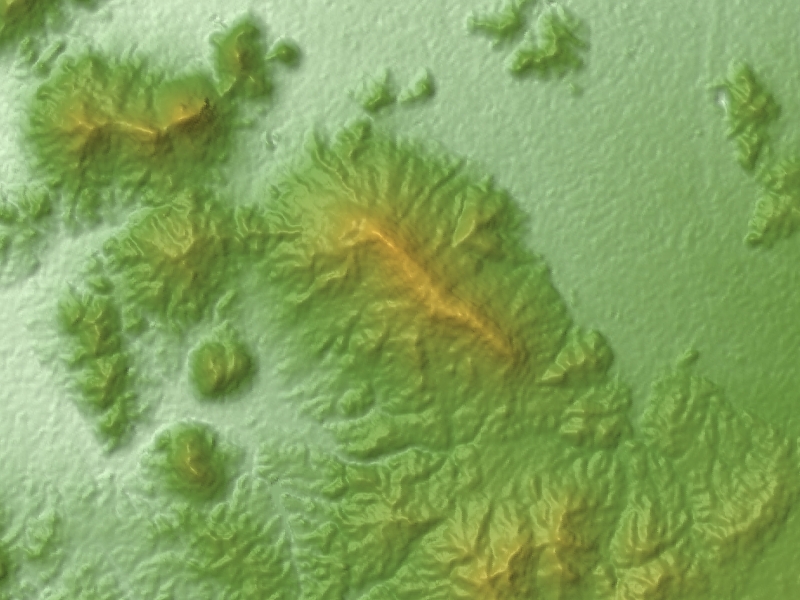
| current | 12:43, 27 March 2016 | | 800 × 600 (307 KB) | Batholith (talk | contribs) | {{Information |Description= {{en|Relief map of '''Mount Zōzu''', Kagawa Prefecture, Shikoku, Japan. Data from "SRTM-1 (30m Mesh) Ver... |
You cannot overwrite this file.
File usage on Commons
The following 3 pages use this file:
File usage on other wikis
The following other wikis use this file:
_Relief_Map,_SRTM-1.jpg&oldid=663792868)