File:Moscow map MKAD metro line guided.svg
Jump to navigation
Jump to search

Size of this PNG preview of this SVG file: 462 × 600 pixels. Other resolutions: 185 × 240 pixels | 370 × 480 pixels | 591 × 768 pixels | 789 × 1,024 pixels | 1,577 × 2,048 pixels | 721 × 936 pixels.
Original file (SVG file, nominally 721 × 936 pixels, file size: 10 KB)
Captions
Captions
Add a one-line explanation of what this file represents
Summary
[edit]
| Description |
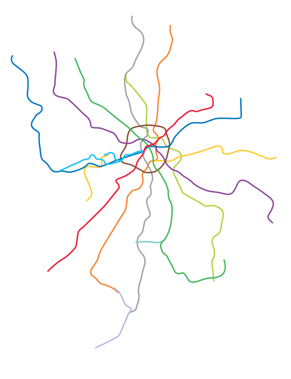
English: Moscow city map before 1 July 2012, roughly within the orbital highway.
Русский: Карта Москвы (МКАД и соседние районы)
|
| Date | |
| Source | Own work |
| Author | User:Sameboat |
Licensing
[edit]
This file is licensed under the Creative Commons Attribution-Share Alike 3.0 Unported license.
- You are free:
- to share – to copy, distribute and transmit the work
- to remix – to adapt the work
- Under the following conditions:
- attribution – You must give appropriate credit, provide a link to the license, and indicate if changes were made. You may do so in any reasonable manner, but not in any way that suggests the licensor endorses you or your use.
- share alike – If you remix, transform, or build upon the material, you must distribute your contributions under the same or compatible license as the original.
File history
Click on a date/time to view the file as it appeared at that time.
| Date/Time | Thumbnail | Dimensions | User | Comment | |
|---|---|---|---|---|---|
| current | 20:51, 22 March 2017 | | 721 × 936 (10 KB) | Inteloutside2 (talk | contribs) | (Earlier expansion of line 1) |
| 20:39, 21 March 2017 |  | 721 × 936 (13 KB) | Inteloutside2 (talk | contribs) | Correct file uploaded this time | |
| 20:37, 21 March 2017 |  | 721 × 936 (13 KB) | Inteloutside2 (talk | contribs) | Corrected a small mistake | |
| 19:53, 21 March 2017 |  | 744 × 1,052 (16 KB) | Inteloutside2 (talk | contribs) | Extension of lines 8A and 10 | |
| 00:42, 2 May 2015 |  | 721 × 936 (7 KB) | Sameboat (talk | contribs) | Prep for Котельники | |
| 04:34, 6 November 2014 |  | 721 × 936 (13 KB) | Sameboat (talk | contribs) | {{Information |Description= |Source= |Date= |Author= |Permission= |other_versions= }} | |
| 15:28, 1 September 2014 |  | 721 × 936 (15 KB) | Sameboat (talk | contribs) | Zhulebino | |
| 01:06, 6 February 2014 |  | 721 × 936 (15 KB) | Sameboat (talk | contribs) | ||
| 01:05, 6 February 2014 |  | 721 × 936 (14 KB) | Sameboat (talk | contribs) | ||
| 15:49, 2 February 2014 |  | 721 × 936 (15 KB) | Sameboat (talk | contribs) |
You cannot overwrite this file.
File usage on Commons
The following 7 pages use this file:
- User:Chumwa/OgreBot/Potential transport maps/2017 March 21-31
- User:Chumwa/OgreBot/Public transport information/2015 May 1-10
- User:Chumwa/OgreBot/Public transport information/2017 March 21-31
- User:Chumwa/OgreBot/Transport Maps/2015 May 1-10
- User:Chumwa/OgreBot/Transport Maps/2017 March 21-31
- User:Chumwa/OgreBot/Travel and communication maps/2017 March 21-31
- User:Stolbovsky/Recent uploads/Moscow/2017 March 21-31