File:Mordtaelerbach nahe Muendung.jpg
Jump to navigation
Jump to search

Size of this preview: 800 × 593 pixels. Other resolutions: 320 × 237 pixels | 640 × 475 pixels | 1,024 × 759 pixels | 1,280 × 949 pixels | 2,560 × 1,898 pixels | 2,820 × 2,091 pixels.
Original file (2,820 × 2,091 pixels, file size: 4.01 MB, MIME type: image/jpeg)
Captions
Captions
Add a one-line explanation of what this file represents
Summary
[edit]
| Description |
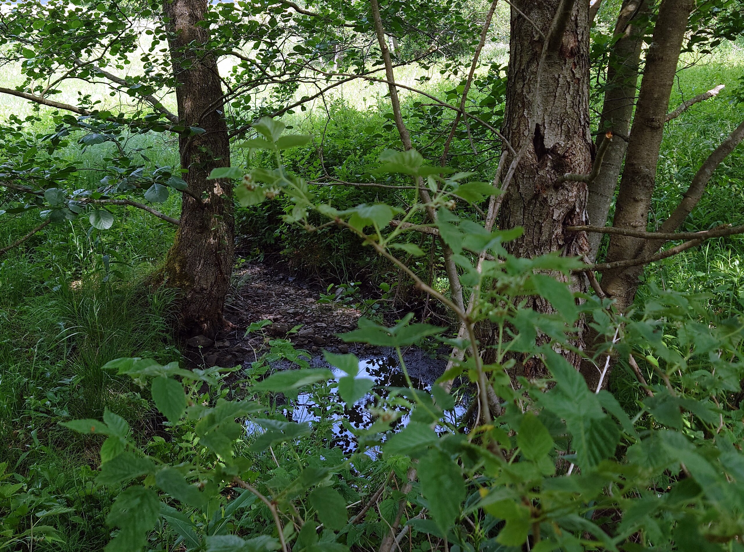
Deutsch: Mordtälerbach nahe Mündung - im Juni 2022 mit nur sehr wenig Wasser |
| Date | |
| Source | Own work |
| Author | Sarkana |
| Other versions | flickr: 22_1906_133255 |
| Camera location | | View this and other nearby images on: OpenStreetMap |
|---|
Licensing
[edit]
|
English: If you want to use this file commercially, you have to do these under the terms of the Free Art License.
Deutsch: Wenn Sie diese Datei kommerziell nutzen möchten, müssen Sie dies unter den Bedingungen der Licence Art Libre tun.
English: Otherwise you may choose out of of the following Creative Commons licence:
Deutsch: Andernfalls können Sie auch die folgende Creative Commons-Lizenz nutzen:
|
File history
Click on a date/time to view the file as it appeared at that time.
| Date/Time | Thumbnail | Dimensions | User | Comment | |
|---|---|---|---|---|---|
| current | 19:29, 12 June 2023 | | 2,820 × 2,091 (4.01 MB) | Sarkana (talk | contribs) | =={{int:filedesc}}== {{Information |Description={{de|Mordtälerbach nahe Mündung - im Juni 2022 mit nur sehr wenig Wasser}} |Source={{own}} |Date=2022-06-19 13:32 |Author=Sarkana |Permission= |other_versions=[https://www.flickr.com/photos/sarkana/52970318828/ flickr: 22_1906_133255] }} {{Location dec|51.638563|10.929430|source:Flickr}} =={{int:license-header}}== {{User:Sarkana/Foto-Lizenz}} Category:Blue Category:Brown Category:Green Category:Mordtälerbach Category:Unterharz |
You cannot overwrite this file.
File usage on Commons
There are no pages that use this file.
File usage on other wikis
The following other wikis use this file:
- Usage on de.wikipedia.org