File:Moorland above Cwm Tyleri - geograph.org.uk - 676588.jpg
Jump to navigation
Jump to search
No higher resolution available.
Moorland_above_Cwm_Tyleri_-_geograph.org.uk_-_676588.jpg (639 × 479 pixels, file size: 180 KB, MIME type: image/jpeg)
Captions
Captions
Add a one-line explanation of what this file represents
Summary
[edit]
| Description |
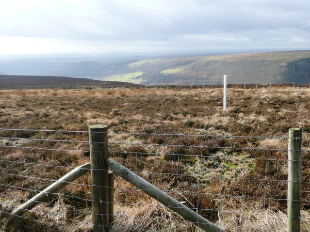
English: Moorland above Cwm Tyleri The eastern half of the square is moorland. Looking south-west it drops into Cwm Tyleri. Although open access moorland, a whole swathe along the crest of the ridge is fenced off. It contains the route of a gas pipeline, and one of the marker posts can be seen. |
| Date | |
| Source | From geograph.org.uk |
| Author | Graham Horn |
| Attribution (required by the license) | Graham Horn / Moorland above Cwm Tyleri / |
| Camera location | | View this and other nearby images on: OpenStreetMap |
|---|
_heading:247.00&language=en)
| Object location | | View this and other nearby images on: OpenStreetMap |
|---|
_heading:247.00&language=en)
Licensing
[edit]

|
This image was taken from the Geograph project collection. See this photograph's page on the Geograph website for the photographer's contact details. The copyright on this image is owned by Graham Horn and is licensed for reuse under the Creative Commons Attribution-ShareAlike 2.0 license.
|
This file is licensed under the Creative Commons Attribution-Share Alike 2.0 Generic license.
Attribution: Graham Horn
- You are free:
- to share – to copy, distribute and transmit the work
- to remix – to adapt the work
- Under the following conditions:
- attribution – You must give appropriate credit, provide a link to the license, and indicate if changes were made. You may do so in any reasonable manner, but not in any way that suggests the licensor endorses you or your use.
- share alike – If you remix, transform, or build upon the material, you must distribute your contributions under the same or compatible license as the original.
File history
Click on a date/time to view the file as it appeared at that time.
| Date/Time | Thumbnail | Dimensions | User | Comment | |
|---|---|---|---|---|---|
| current | 22:43, 7 February 2011 | | 639 × 479 (180 KB) | GeographBot (talk | contribs) | == {{int:filedesc}} == {{Information |description={{en|1=Moorland above Cwm Tyleri The eastern half of the square is moorland. Looking south-west it drops into Cwm Tyleri. Although open access moorland, a whole swathe along the crest of the ridge is fen |
You cannot overwrite this file.
File usage on Commons
There are no pages that use this file.