File:Monumento a Gil Eanes - Lagos - Portugal (3720139324).jpg
Original file (3,821 × 5,136 pixels, file size: 12.97 MB, MIME type: image/jpeg)
Captions
Captions
Summary
[edit].jpg&action=edit§ion=1)
| Description |
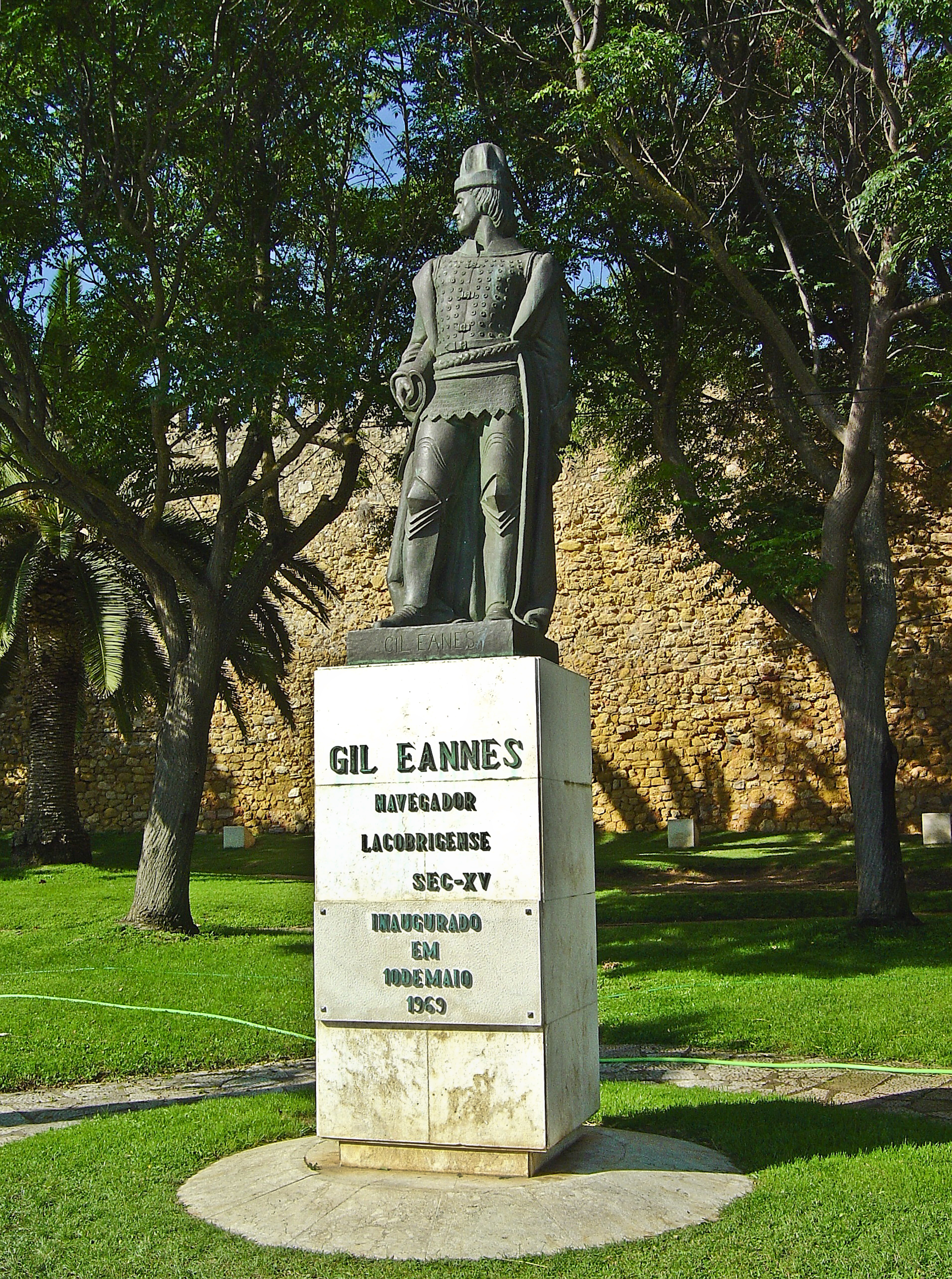
Gil Eanes Navegador Português, escudeiro do Infante D. Henrique, que pela primeira vez passou além do Cabo Bojador, dissipando o terror supersticioso que este promontório inspirava e iniciando assim a época dos grandes Descobrimentos (1434). <a href="https://descobrimentos.no.sapo.pt/gil_eanes.htm" rel="nofollow">descobrimentos.no.sapo.pt/gil_eanes.htm</a> Gil Eannes (Eannes; Portuguese pronunciation: [ʒiɫ iˈɐnɨʃ]) was a 15th century Portuguese navigator and explorer. Very little was known of him. Eannes was in the service of the Portuguese prince Henry the Navigator. Sailing from Lagos, Eannes made an unknown number of voyages along the African coast. In his voyage in 1433, he sailed along the coast of Africa and reached the Canary Islands. He was the first to sail beyond Cape Bojador in 1434 and return, by making a wide turn. The discovery of a passable route around Cape Bojador marked the beginning of the Portuguese exploration of Africa. Before the trip of Eannes, there was a legend of a Green Sea of Darkness, beyond the Cape Bojador. Eannes made another voyage, with Afonso Gonçalves Baldaia, in 1435. They sailed about 30 leagues (144 km), or even 50 leagues (240 km) south of Cape Bojador and reached African coast. <a href="http://en.wikipedia.org/wiki/Gil_Eanes" rel="nofollow">en.wikipedia.org/wiki/Gil_Eanes</a> <a href="http://loc.alize.us/#/flickr:3720139324" rel="nofollow">See where this picture was taken.</a> <a href="https://www.flickr.com/groups/geotagging/discuss/72157594165549916/">[?]</a> |
| Date | |
| Source | Monumento a Gil Eanes - Lagos - Portugal |
| Author | Vitor Oliveira from Torres Vedras, PORTUGAL |
| Camera location | | View this and other nearby images on: OpenStreetMap |
|---|
.jpg¶ms=037.099700_N_-008.669417_E_globe:Earth_type:camera_source:Flickr_&language=en)
Licensing
[edit].jpg&action=edit§ion=2)
- You are free:
- to share – to copy, distribute and transmit the work
- to remix – to adapt the work
- Under the following conditions:
- attribution – You must give appropriate credit, provide a link to the license, and indicate if changes were made. You may do so in any reasonable manner, but not in any way that suggests the licensor endorses you or your use.
- share alike – If you remix, transform, or build upon the material, you must distribute your contributions under the same or compatible license as the original.
| This image was originally posted to Flickr by Portuguese_eyes at https://flickr.com/photos/21446942@N00/3720139324 (archive). It was reviewed on 1 April 2019 by FlickreviewR 2 and was confirmed to be licensed under the terms of the cc-by-sa-2.0. |
File history
Click on a date/time to view the file as it appeared at that time.
| Date/Time | Thumbnail | Dimensions | User | Comment | |
|---|---|---|---|---|---|
| current | 05:45, 1 April 2019 | | 3,821 × 5,136 (12.97 MB) | Tm (talk | contribs) | Transferred from Flickr via #flickr2commons |
You cannot overwrite this file.
File usage on Commons
There are no pages that use this file.
.jpg&oldid=895190493)