File:Montserrat Exclusion Zone - Old Airport.jpg
Jump to navigation
Jump to search
Size of this preview: 800 × 600 pixels. Other resolutions: 320 × 240 pixels | 640 × 480 pixels | 1,024 × 768 pixels | 1,280 × 960 pixels | 2,560 × 1,920 pixels | 3,648 × 2,736 pixels.
Original file (3,648 × 2,736 pixels, file size: 2.59 MB, MIME type: image/jpeg)
Captions
Captions
Add a one-line explanation of what this file represents
Summary
[edit]
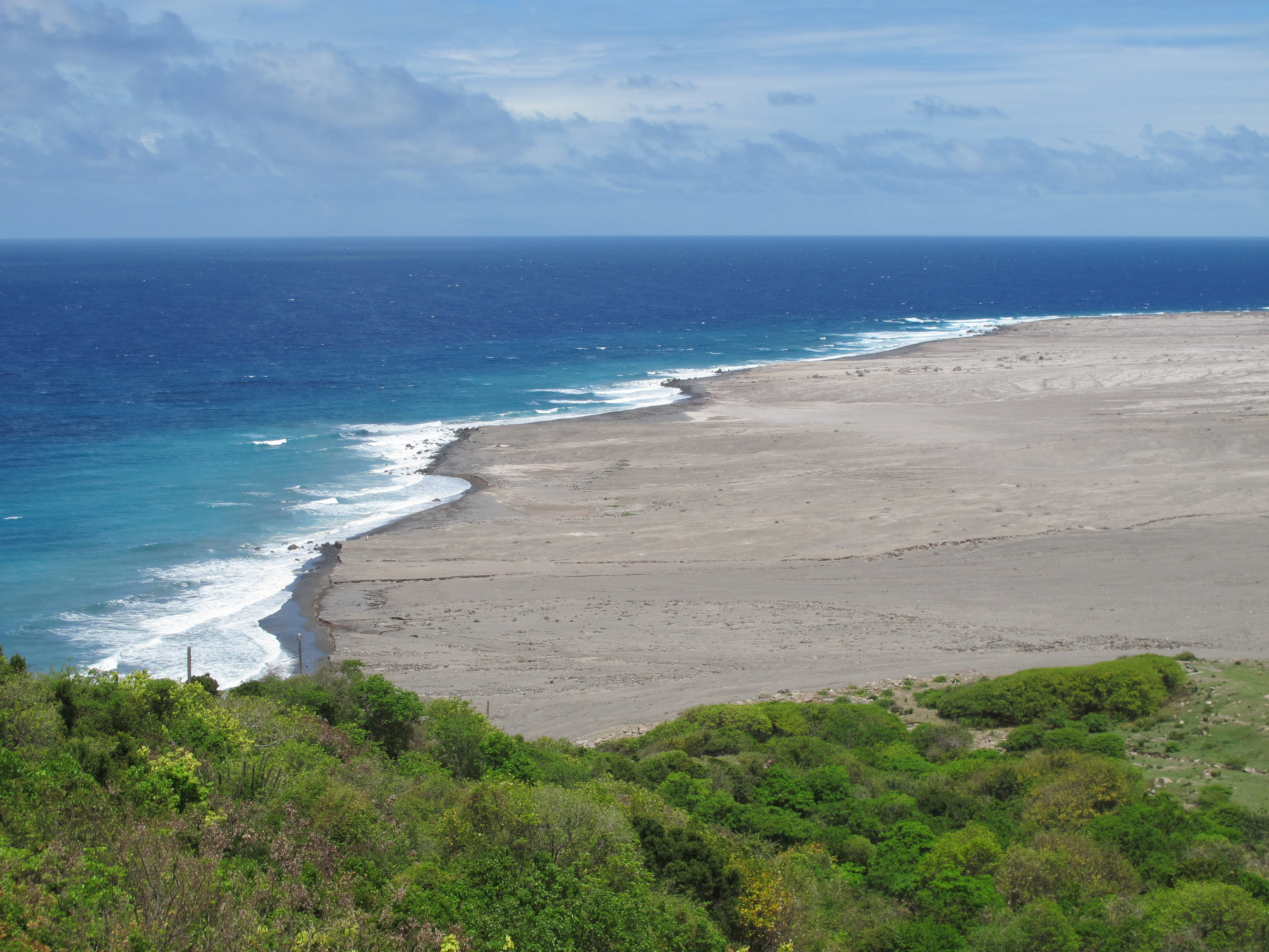
| Description | W. H. Bramble Airport is no longer visible. |
| Date | |
| Source | Own work |
| Author | Pat Hawks |
| Camera location | | View this and other nearby images on: OpenStreetMap |
|---|
Licensing
[edit]
I, the copyright holder of this work, hereby publish it under the following license:
This file is licensed under the Creative Commons Attribution license, versions 1.0, 2.0, 2.5, 3.0, 4.0 and any later version released by Creative Commons. You may select the version of your choice. In short: you are free to share and make derivative works of the file under the conditions that you appropriately attribute it. Official license: 1.0, 2.0, 2.5, 3.0, 4.0
|
If this file was uploaded before Jan. 10th, 2013 it is licensed under:
This file is licensed under the Creative Commons Attribution 3.0 Unported, 2.5 Generic, 2.0 Generic and 1.0 Generic license.
- You are free:
- to share – to copy, distribute and transmit the work
- to remix – to adapt the work
- Under the following conditions:
- attribution – You must give appropriate credit, provide a link to the license, and indicate if changes were made. You may do so in any reasonable manner, but not in any way that suggests the licensor endorses you or your use.
| Annotations | This image is annotated: View the annotations at Commons |
File history
Click on a date/time to view the file as it appeared at that time.
| Date/Time | Thumbnail | Dimensions | User | Comment | |
|---|---|---|---|---|---|
| current | 15:59, 2 June 2012 | | 3,648 × 2,736 (2.59 MB) | File Upload Bot (Magnus Manske) (talk | contribs) | Transferred from Flickr by User:Pat Hawks using flickr2commons |
You cannot overwrite this file.
File usage on Commons
There are no pages that use this file.
File usage on other wikis
The following other wikis use this file:
- Usage on cs.wikipedia.org
- Usage on uk.wikipedia.org