File:Montgomery County NY Charleston town highlighted.svg
Jump to navigation
Jump to search

Size of this PNG preview of this SVG file: 584 × 600 pixels. Other resolutions: 234 × 240 pixels | 467 × 480 pixels | 748 × 768 pixels | 997 × 1,024 pixels | 1,994 × 2,048 pixels | 1,100 × 1,130 pixels.
Original file (SVG file, nominally 1,100 × 1,130 pixels, file size: 1.62 MB)
Captions
Captions
Add a one-line explanation of what this file represents
Summary
[edit]
| Description |
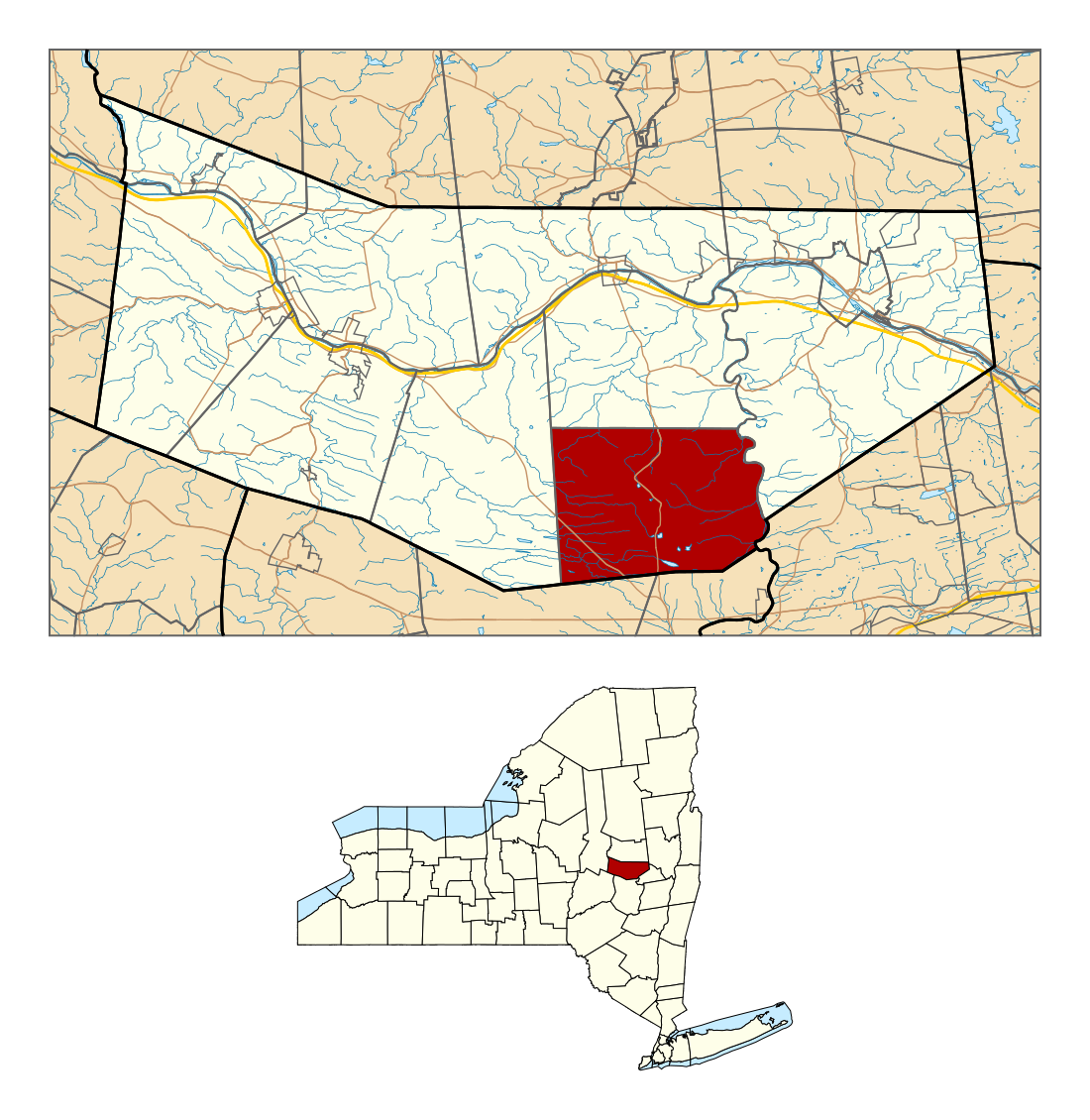
English: Map showing the location of this town within Montgomery County, New York. Based on data from the following sources: |
| Date | |
| Source | Own work |
| Author | Schzmo |
Licensing
[edit]
I, the copyright holder of this work, hereby publish it under the following license:
This file is licensed under the Creative Commons Attribution 3.0 Unported license.
- You are free:
- to share – to copy, distribute and transmit the work
- to remix – to adapt the work
- Under the following conditions:
- attribution – You must give appropriate credit, provide a link to the license, and indicate if changes were made. You may do so in any reasonable manner, but not in any way that suggests the licensor endorses you or your use.
File history
Click on a date/time to view the file as it appeared at that time.
| Date/Time | Thumbnail | Dimensions | User | Comment | |
|---|---|---|---|---|---|
| current | 06:54, 14 January 2016 | | 1,100 × 1,130 (1.62 MB) | Schzmo (talk | contribs) | tweak stroke widths for clarity |
| 06:24, 14 January 2016 |  | 1,100 × 1,130 (1.62 MB) | Schzmo (talk | contribs) | {{Information |Description ={{en|1=Map showing the location of this town within Montgomery County, New York.<br />Based on data from the following sources: * [https://www.census.gov/geo/maps-data/data/tiger-line.html US Census Bureau TIGER/Line Shap... |
You cannot overwrite this file.
File usage on Commons
The following page uses this file:
File usage on other wikis
The following other wikis use this file:
- Usage on ar.wikipedia.org
- Usage on arz.wikipedia.org
- Usage on en.wikipedia.org
- Usage on eu.wikipedia.org
- Usage on fa.wikipedia.org
- Usage on fr.wikipedia.org
- Usage on ht.wikipedia.org
- Usage on it.wikipedia.org
- Usage on sv.wikipedia.org
- Usage on tt.wikipedia.org
- Usage on www.wikidata.org