File:Monterano drone1.jpg
Jump to navigation
Jump to search
Size of this preview: 800 × 480 pixels. Other resolutions: 320 × 192 pixels | 1,024 × 614 pixels | 1,500 × 900 pixels.
Original file (1,500 × 900 pixels, file size: 423 KB, MIME type: image/jpeg)
Captions
Captions
Add a one-line explanation of what this file represents
Summary
[edit]
| Description |
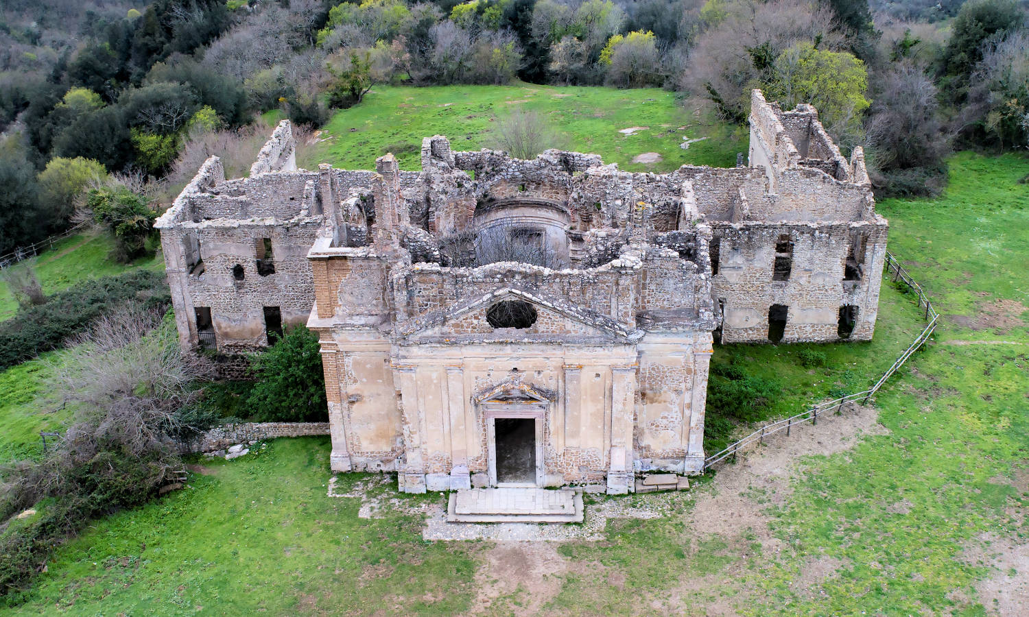
Italiano: Monterano visto dal drone |
| Date | |
| Source | Comune di Canale Monterano |
| Author | Paolo Stefanini |
| Permission (Reusing this file) |
https://www.comune.canalemonterano.rm.it/ |
Licensing
[edit]
This file is licensed under the Creative Commons Attribution 4.0 International license.
- You are free:
- to share – to copy, distribute and transmit the work
- to remix – to adapt the work
- Under the following conditions:
- attribution – You must give appropriate credit, provide a link to the license, and indicate if changes were made. You may do so in any reasonable manner, but not in any way that suggests the licensor endorses you or your use.
This file, which was originally posted to
https://www.comune.canalemonterano.rm.it, was reviewed on 23 May 2019 by reviewer Ruthven, who confirmed that it was available there under the stated license on that date.
|
File history
Click on a date/time to view the file as it appeared at that time.
| Date/Time | Thumbnail | Dimensions | User | Comment | |
|---|---|---|---|---|---|
| current | 15:41, 31 May 2018 | | 1,500 × 900 (423 KB) | A.branco (talk | contribs) | Foto di Paolo Stefanini (2018) - licenza d'uso al Comune di Canale Monterano |
You cannot overwrite this file.
File usage on Commons
There are no pages that use this file.
File usage on other wikis
The following other wikis use this file:
- Usage on sv.wikipedia.org