File:Montenegro map blank.png
Jump to navigation
Jump to search

Size of this preview: 600 × 600 pixels. Other resolutions: 240 × 240 pixels | 480 × 480 pixels | 768 × 768 pixels | 1,024 × 1,024 pixels | 1,800 × 1,800 pixels.
Original file (1,800 × 1,800 pixels, file size: 107 KB, MIME type: image/png)
Captions
Captions
Add a one-line explanation of what this file represents
Summary
[edit]
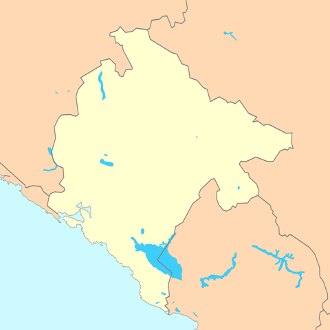
| Description | A blank map of Montenegro with most important topographic features (lakes, rivers) |
| Date | |
| Source | Reference map provided by Demis Mapper 6, enhanced using Corel Photo-Paint 12 |
| Author | Minestrone |
Licensing
[edit]
| I, the copyright holder of this work, release this work into the public domain. This applies worldwide. In some countries this may not be legally possible; if so: I grant anyone the right to use this work for any purpose, without any conditions, unless such conditions are required by law. |
This file is licensed under the Creative Commons Attribution 2.5 Generic license.
- You are free:
- to share – to copy, distribute and transmit the work
- to remix – to adapt the work
- Under the following conditions:
- attribution – You must give appropriate credit, provide a link to the license, and indicate if changes were made. You may do so in any reasonable manner, but not in any way that suggests the licensor endorses you or your use.
File history
Click on a date/time to view the file as it appeared at that time.
| Date/Time | Thumbnail | Dimensions | User | Comment | |
|---|---|---|---|---|---|
| current | 09:17, 4 January 2007 | | 1,800 × 1,800 (107 KB) | Minestrone (talk | contribs) | {{Information| |Description=A blank map of Montenegro |Source=Reference map provided by Demis Mapper 6, enhanced using Corel Photo-Paint 12 |Date=January 4, 2006 |Author=Minestrone |Permission=See below |other_versions= }} |
| 15:34, 11 December 2006 |  | 1,408 × 1,870 (155 KB) | Minestrone (talk | contribs) | ||
| 12:46, 11 December 2006 |  | 2,012 × 1,870 (68 KB) | Minestrone (talk | contribs) | ||
| 11:56, 11 December 2006 |  | 525 × 497 (308 KB) | Minestrone (talk | contribs) | {{Information |Description=A blank map of Montenegro, with country outline and coastline. |Source=Reference map provided by Demis Mapper 6 |Date=2006-12-11 |Author=Minestrone |Permission=See below |other_versions= }} |
You cannot overwrite this file.
File usage on Commons
The following page uses this file:
File usage on other wikis
The following other wikis use this file:
- Usage on test.wikipedia.org