File:Mont Fréty Mont Chétif.jpg
Jump to navigation
Jump to search

Size of this preview: 800 × 600 pixels. Other resolutions: 320 × 240 pixels | 640 × 480 pixels | 1,024 × 768 pixels | 1,280 × 960 pixels | 2,560 × 1,920 pixels | 4,608 × 3,456 pixels.
Original file (4,608 × 3,456 pixels, file size: 6.37 MB, MIME type: image/jpeg)
Captions
Captions
Add a one-line explanation of what this file represents
Summary
[edit]
| Description |
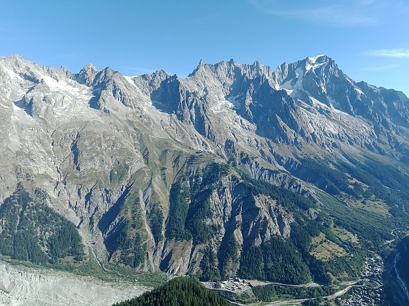
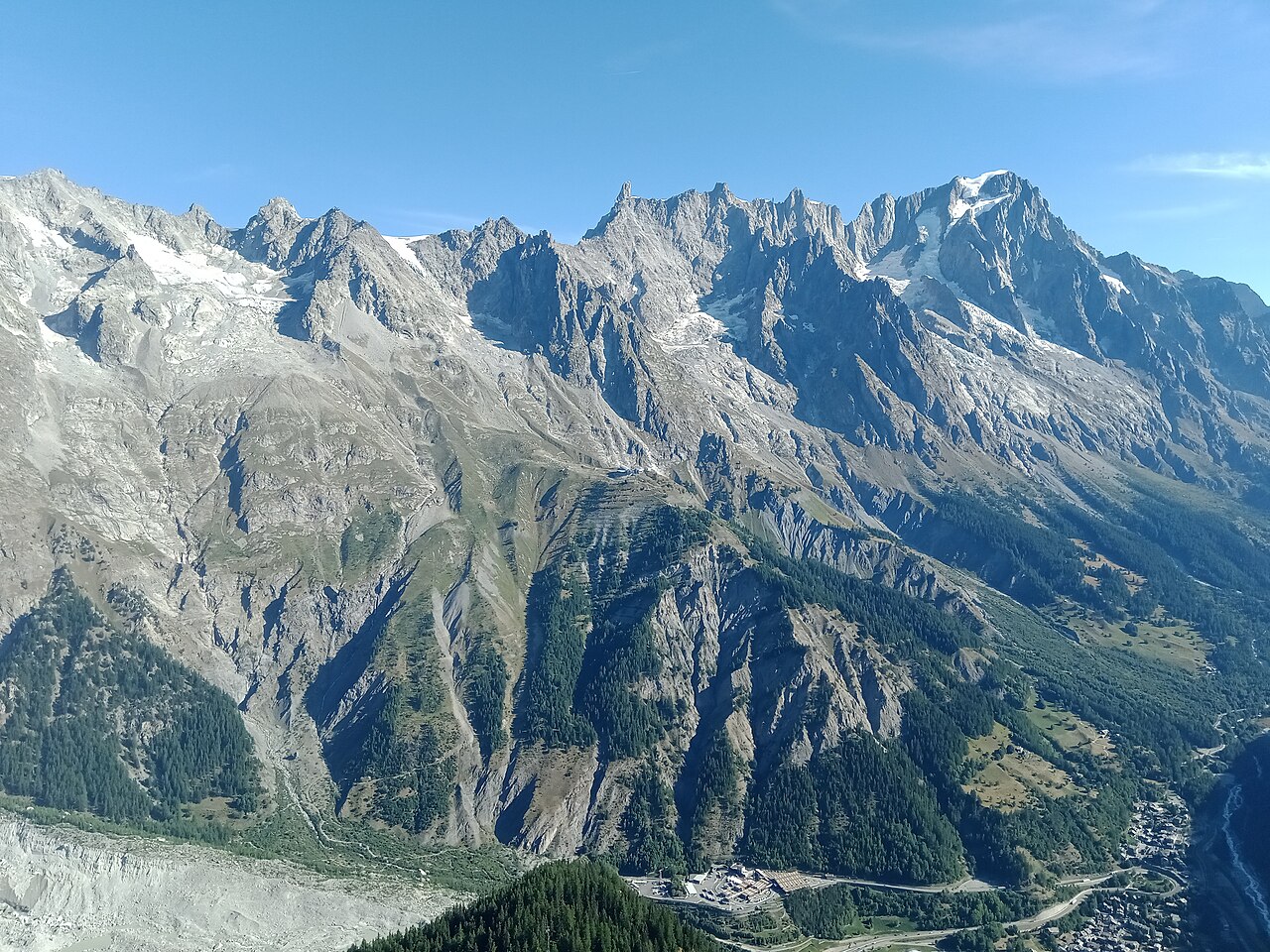
Français : Le mont Fréty depuis le mont Chétif, Courmayeur, Vallée d'Aoste, Italie |
| Date | |
| Source | Own work |
| Author | Rémih |
| Camera location | | View this and other nearby images on: OpenStreetMap |
|---|
Licensing
[edit]
I, the copyright holder of this work, hereby publish it under the following license:
This file is licensed under the Creative Commons Attribution-Share Alike 4.0 International license.
- You are free:
- to share – to copy, distribute and transmit the work
- to remix – to adapt the work
- Under the following conditions:
- attribution – You must give appropriate credit, provide a link to the license, and indicate if changes were made. You may do so in any reasonable manner, but not in any way that suggests the licensor endorses you or your use.
- share alike – If you remix, transform, or build upon the material, you must distribute your contributions under the same or compatible license as the original.
| Annotations | This image is annotated: View the annotations at Commons |
File history
Click on a date/time to view the file as it appeared at that time.
| Date/Time | Thumbnail | Dimensions | User | Comment | |
|---|---|---|---|---|---|
| current | 10:44, 15 May 2023 | | 4,608 × 3,456 (6.37 MB) | Rémih (talk | contribs) | Uploaded own work with UploadWizard |
You cannot overwrite this file.
File usage on Commons
There are no pages that use this file.
Metadata
Categories:
- Mont Fréty
- Aiguille de Toule
- Glacier de Toule
- Grand Flambeau
- Punta Helbronner
- Col du Géant
- Aiguille Marbrée Sud
- Glacier du Mont-Fréty
- Col de Rochefort
- Dent du Géant
- Arête de Rochefort
- Glacier de Rochefort
- Mont de Rochefort
- Aiguille Rouge de Rochefort
- Glacier de Planpincieux
- Glacier des Grandes Jorasses
- Col des Grandes Jorasses
- Grandes Jorasses
- Val Ferret (Aosta Valley)
- Nature of Courmayeur
- Views from Mont Chétif