File:Moglicë - Mapillary (gdtYAUAprW8gGf7h3OcEGg).jpg
Jump to navigation
Jump to search

Size of this preview: 799 × 599 pixels. Other resolutions: 320 × 240 pixels | 640 × 480 pixels | 1,024 × 768 pixels | 1,280 × 960 pixels | 1,977 × 1,483 pixels.
Original file (1,977 × 1,483 pixels, file size: 317 KB, MIME type: image/jpeg)
Captions
Captions
Add a one-line explanation of what this file represents
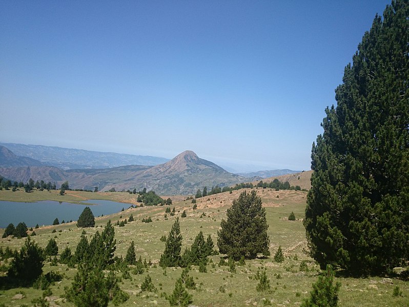
| Description | Liqeni i Zi of Lenie (Shënepremte) with Maja e Komjanit (1791m) in the background – Gramsh district, Albania | ||
| Date | |||
| Source |
|
||
| Author | malenki @ Mapillary.com | ||
| Permission (Reusing this file) |
This file is licensed under the Creative Commons Attribution-Share Alike 4.0 International license.
|
| Camera location | | View this and other nearby images on: OpenStreetMap |
|---|
.jpg¶ms=040.760775_N_0020.436369_E_globe:Earth_type:camera_heading:266.61&language=en)
File history
Click on a date/time to view the file as it appeared at that time.
| Date/Time | Thumbnail | Dimensions | User | Comment | |
|---|---|---|---|---|---|
| current | 16:25, 2 May 2018 | | 1,977 × 1,483 (317 KB) | Acabashi (talk | contribs) | Cropped 3 % horizontally, 3 % vertically using CropTool with lossless mode. Removed watermark. |
| 13:59, 11 July 2016 |  | 2,048 × 1,536 (351 KB) | Albinfo (talk | contribs) | Transferred from https://d1cuyjsrcm0gby.cloudfront.net/gdtYAUAprW8gGf7h3OcEGg/thumb-2048.jpg |
You cannot overwrite this file.
File usage on Commons
The following page uses this file:
File usage on other wikis
The following other wikis use this file:
- Usage on de.wikipedia.org
- Usage on sq.wikipedia.org
.jpg&oldid=813987011)