File:Moa Island (Landsat).png

Original file (711 × 623 pixels, file size: 900 KB, MIME type: image/png)
Captions
Captions
Summary
[edit].png&action=edit§ion=1)
| Description |
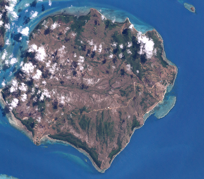
English: Moa Island, Western Torres Strait Islands, Queensland, Australia Merged six close-by tiles from NASA-Landsat (30-meter resolution) mosaics. Other Source-Files are: http://oceancolor.gsfc.nasa.gov/cgi/landsat_extract.pl?path=99&row=67&x=2132&y=102&n=0&t=321, http://oceancolor.gsfc.nasa.gov/cgi/landsat_extract.pl?path=99&row=67&x=1672&y=332&n=0&t=321, http://oceancolor.gsfc.nasa.gov/cgi/landsat_extract.pl?path=99&row=67&x=2132&y=332&n=0&t=321, http://oceancolor.gsfc.nasa.gov/cgi/landsat_extract.pl?path=99&row=67&x=1672&y=562&n=0&t=321, http://oceancolor.gsfc.nasa.gov/cgi/landsat_extract.pl?path=99&row=67&x=2132&y=562&n=0&t=321 |
| Date | |
| Source | http://oceancolor.gsfc.nasa.gov/cgi/landsat_extract.pl?path=99&row=67&x=1672&y=102&n=0&t=321 |
| Author | NASA |
Licensing
[edit].png&action=edit§ion=2)
| This file is in the public domain in the United States because it was solely created by NASA. NASA copyright policy states that "NASA material is not protected by copyright unless noted". (See Template:PD-USGov, NASA copyright policy page or JPL Image Use Policy.) | ||
 |
Warnings:
|
File history
Click on a date/time to view the file as it appeared at that time.
| Date/Time | Thumbnail | Dimensions | User | Comment | |
|---|---|---|---|---|---|
| current | 20:26, 1 November 2011 | | 711 × 623 (900 KB) | Wurfzoll (talk | contribs) |
You cannot overwrite this file.
File usage on Commons
The following page uses this file:
File usage on other wikis
The following other wikis use this file:
- Usage on arz.wikipedia.org
- Usage on ceb.wikipedia.org
- Usage on de.wikipedia.org
- Usage on en.wikipedia.org
- Usage on fr.wikipedia.org
- Usage on it.wikipedia.org
- Usage on sv.wikipedia.org
- Usage on uk.wikipedia.org
- Usage on www.wikidata.org
.png&oldid=910702766)