File:Mořkov, Schenklova mapa krajů.jpg
Jump to navigation
Jump to search

Size of this preview: 800 × 497 pixels. Other resolutions: 320 × 199 pixels | 640 × 397 pixels | 865 × 537 pixels.
Original file (865 × 537 pixels, file size: 120 KB, MIME type: image/jpeg)
Captions
Captions
Add a one-line explanation of what this file represents
Summary
[edit]
| Description |
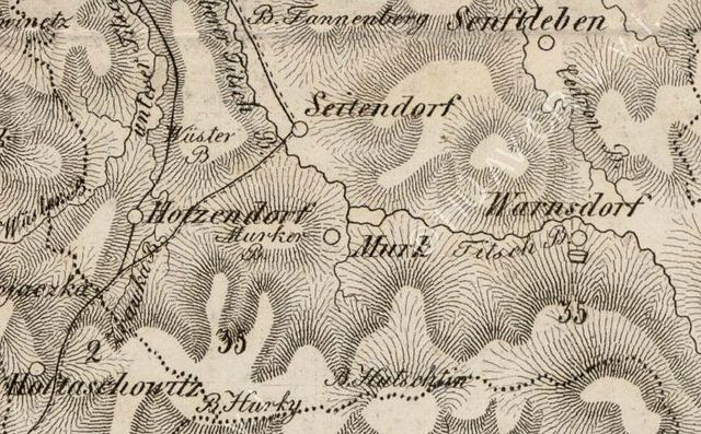
Čeština: Mořkov na Schenklově mapě krajů (v měřítku cca 1 : 200 000). Autorem mapy je Konrád Schenkl, který mapu vytvářel v letech 1841 až 1845. Vydána byla v Brně Carlem Winikerem. |
| Date | between 1841 and 1845 |
| Source | Mapový portál Výzkumného ústavu geodetického, topografického a kartografického, v. v. l. |
| Author | Konrád Schenkl |
Licensing
[edit]
|
This work is in the public domain in its country of origin and other countries and areas where the copyright term is the author's life plus 70 years or fewer. | |
| This file has been identified as being free of known restrictions under copyright law, including all related and neighboring rights. | |
File history
Click on a date/time to view the file as it appeared at that time.
| Date/Time | Thumbnail | Dimensions | User | Comment | |
|---|---|---|---|---|---|
| current | 02:30, 27 December 2012 | | 865 × 537 (120 KB) | Jan Polák (talk | contribs) | User created page with UploadWizard |
You cannot overwrite this file.
File usage on Commons
The following page uses this file:
File usage on other wikis
The following other wikis use this file: