File:Mizubayashi Athletic Stadium.png
Jump to navigation
Jump to search
Size of this preview: 749 × 600 pixels. Other resolutions: 300 × 240 pixels | 600 × 480 pixels | 967 × 774 pixels.
Original file (967 × 774 pixels, file size: 1.51 MB, MIME type: image/png)
Captions
Captions
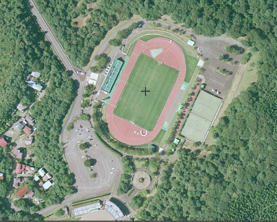
Mizubayashi Athletic Stadium
Summary
[edit]| Description |
English: Mizubayashi Athletic Stadium |
||
| Date | |||
| Source | https://maps.gsi.go.jp/#18/39.379306/140.031593/&ls=seamlessphoto%7Cgazo4&blend=0&disp=11&vs=c1j0h0k0l0u0t0z0r0s0m0f1 | ||
| Author | 国土地理院 | ||
| Permission (Reusing this file) |
This file is licensed under the Creative Commons Attribution 4.0 International license. Attribution: 国土地理院 (GSI)
|

Licensing
[edit]
| This file is made available under the Creative Commons CC0 1.0 Universal Public Domain Dedication. | |
| The person who associated a work with this deed has dedicated the work to the public domain by waiving all of their rights to the work worldwide under copyright law, including all related and neighboring rights, to the extent allowed by law. You can copy, modify, distribute and perform the work, even for commercial purposes, all without asking permission.
|
Licensing
[edit]

|
The copyright holder of this file, the Ministry of Land, Infrastructure, Transport and Tourism of Japan, allows anyone to use it for any purpose, provided that the copyright holder is properly attributed. Redistribution, derivative work, commercial use, and all other use is permitted. |
Attribution:
Copyright © National Land Image Information (Color Aerial Photographs), Ministry of Land, Infrastructure, Transport and Tourism
|
 |
This image is copyrighted by the Ministry of Land, Infrastructure, Transport and Tourism of Japan. For terms of use, see the stipulation to use of National Land Information (in Japanese) and message from MLIT (in Japanese and English). When you display this image on an article, include the following phrase in the description: "Made based on National Land Image Information (Color Aerial Photographs), Ministry of Land, Infrastructure, Transport and Tourism".
|
File history
Click on a date/time to view the file as it appeared at that time.
| Date/Time | Thumbnail | Dimensions | User | Comment | |
|---|---|---|---|---|---|
| current | 02:27, 24 January 2022 | | 967 × 774 (1.51 MB) | Yota00 (talk | contribs) | Uploaded a work by 国土地理院 from https://maps.gsi.go.jp/#18/39.379306/140.031593/&ls=seamlessphoto%7Cgazo4&blend=0&disp=11&vs=c1j0h0k0l0u0t0z0r0s0m0f1 with UploadWizard |
You cannot overwrite this file.
File usage on Commons
There are no pages that use this file.
File usage on other wikis
The following other wikis use this file:
- Usage on en.wikipedia.org
- Usage on ja.wikipedia.org