File:Mishima sky walk.jpg
Jump to navigation
Jump to search
Size of this preview: 800 × 533 pixels. Other resolutions: 320 × 213 pixels | 640 × 427 pixels | 1,024 × 683 pixels | 1,280 × 853 pixels | 2,560 × 1,707 pixels | 6,000 × 4,000 pixels.
Original file (6,000 × 4,000 pixels, file size: 24.7 MB, MIME type: image/jpeg)
Captions
Captions
Add a one-line explanation of what this file represents
Summary
[edit]
| Description |
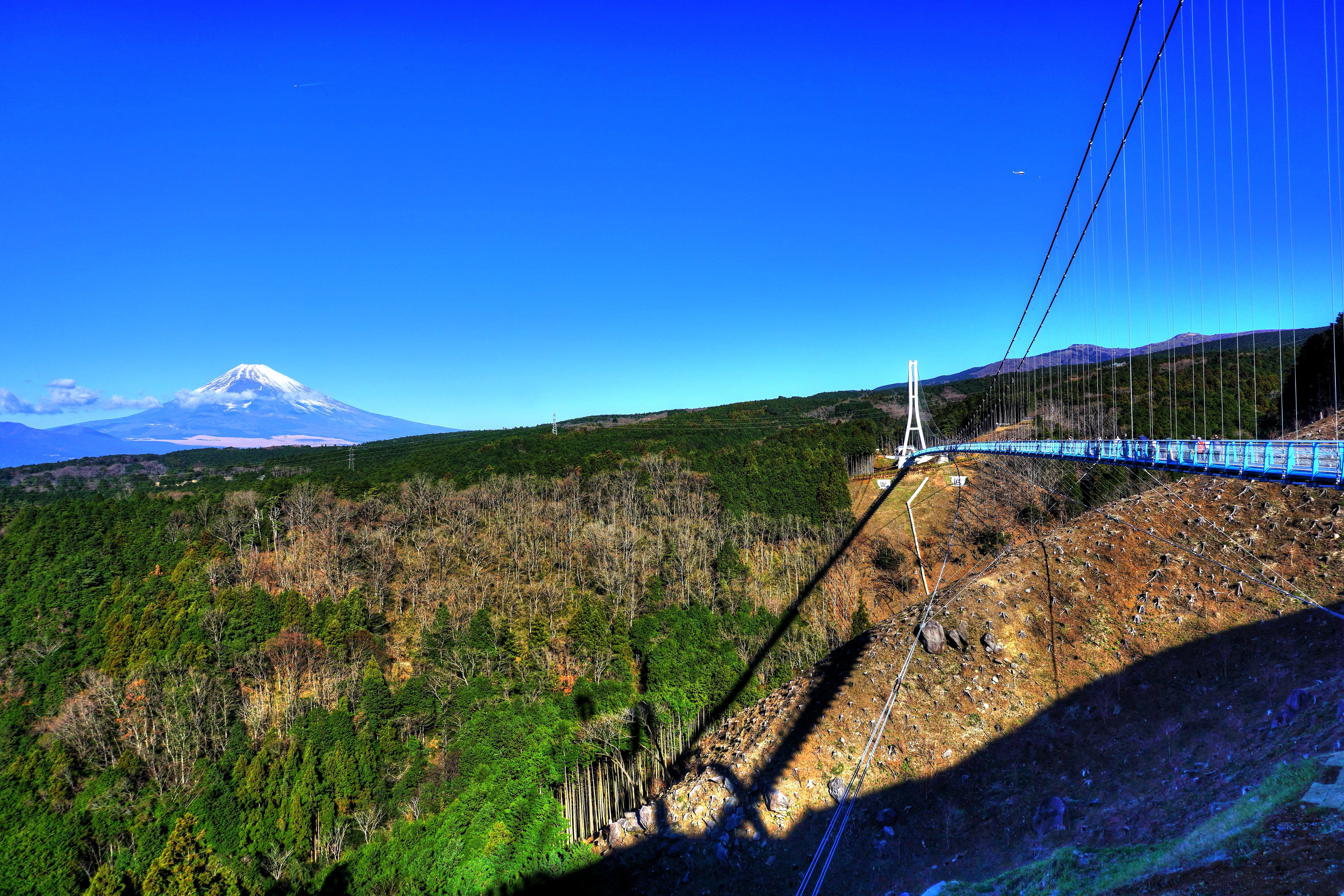
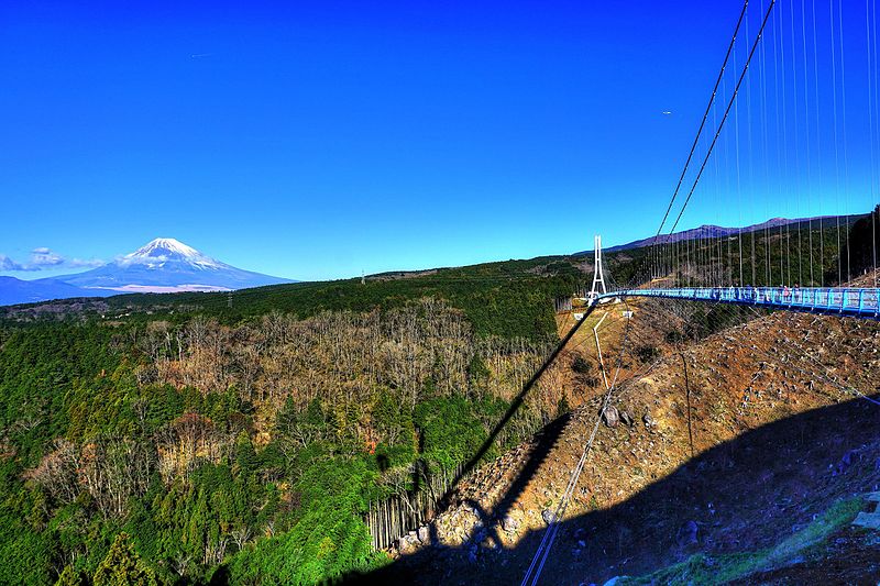
日本語: 三島スカイウォーク。正式名称は、箱根西麓・三島大吊橋。Panoramioより転載。 |
| Date | |
| Source | https://www.panoramio.com/photo/126875799 |
| Author | くろふね |
| Camera location | | View this and other nearby images on: OpenStreetMap |
|---|
| This image was originally posted to Panoramio by くろふね at https://www.panoramio.com/photo/126875799. It was reviewed on 26 October 2016 by the Panoramio Review Bot robot and was confirmed to be licensed under the terms of the cc-by-3.0. |
Licensing
[edit]
This file is licensed under the Creative Commons Attribution 3.0 Unported license.
- You are free:
- to share – to copy, distribute and transmit the work
- to remix – to adapt the work
- Under the following conditions:
- attribution – You must give appropriate credit, provide a link to the license, and indicate if changes were made. You may do so in any reasonable manner, but not in any way that suggests the licensor endorses you or your use.
File history
Click on a date/time to view the file as it appeared at that time.
| Date/Time | Thumbnail | Dimensions | User | Comment | |
|---|---|---|---|---|---|
| current | 07:40, 26 October 2016 | | 6,000 × 4,000 (24.7 MB) | Panoramio Review Bot (talk | contribs) | Replacing image by its original image from Panoramio |
| 05:45, 26 October 2016 |  | 1,024 × 683 (179 KB) | Halowand (talk | contribs) | User created page with UploadWizard |
You cannot overwrite this file.
File usage on Commons
The following page uses this file:
File usage on other wikis
The following other wikis use this file:
- Usage on www.wikidata.org