File:Millsike Beck - geograph.org.uk - 285148.jpg
Jump to navigation
Jump to search
No higher resolution available.
Millsike_Beck_-_geograph.org.uk_-_285148.jpg (640 × 479 pixels, file size: 85 KB, MIME type: image/jpeg)
Captions
Captions
Add a one-line explanation of what this file represents
Summary
[edit]| Description |
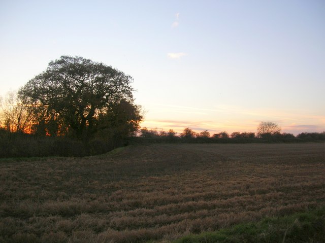
English: Millsike Beck, south-east of Stamford Bridge, East Riding of Yorkshire, England. Next to the tree a small bridge can be seen on the right crossing over the beck. Until 1965 this carried the York to Beverley railway. |
| Date | |
| Source | From geograph.org.uk |
| Author | DS Pugh |
| Permission (Reusing this file) |
Creative Commons Attribution Share-alike license 2.0 |
| Other versions |
|
| Attribution (required by the license) | DS Pugh / Millsike Beck / |

| Camera location | | View this and other nearby images on: OpenStreetMap |
|---|
_heading:225.00&language=en)
| Object location | | View this and other nearby images on: OpenStreetMap |
|---|
_heading:225.00&language=en)
Licensing
[edit]

|
This image was taken from the Geograph project collection. See this photograph's page on the Geograph website for the photographer's contact details. The copyright on this image is owned by DS Pugh and is licensed for reuse under the Creative Commons Attribution-ShareAlike 2.0 license.
|
This file is licensed under the Creative Commons Attribution-Share Alike 2.0 Generic license.
Attribution: DS Pugh
- You are free:
- to share – to copy, distribute and transmit the work
- to remix – to adapt the work
- Under the following conditions:
- attribution – You must give appropriate credit, provide a link to the license, and indicate if changes were made. You may do so in any reasonable manner, but not in any way that suggests the licensor endorses you or your use.
- share alike – If you remix, transform, or build upon the material, you must distribute your contributions under the same or compatible license as the original.
File history
Click on a date/time to view the file as it appeared at that time.
| Date/Time | Thumbnail | Dimensions | User | Comment | |
|---|---|---|---|---|---|
| current | 19:39, 14 December 2010 | | 640 × 479 (85 KB) | GeographBot (talk | contribs) | == {{int:filedesc}} == {{Information |description={{en|1=Millsike Beck Next to the tree a small bridge can be seen on the right crossing over the beck. Until 1965 this carried the York to Beverley railway.}} |date=2006-11-26 |source=From [http://www.geogr |
You cannot overwrite this file.
File usage on Commons
The following page uses this file:
Metadata
Categories:
- Stamford Bridge, East Riding of Yorkshire
- Farms in the East Riding of Yorkshire
- Fields in the East Riding of Yorkshire
- Trees in the East Riding of Yorkshire
- Streams in the East Riding of Yorkshire
- Bridges on the York to Beverley Line
- 2006 in Stamford Bridge, East Riding of Yorkshire
- November 2006 in the East Riding of Yorkshire