File:Międzyrzec Podlaski location map.png
Original file (1,050 × 702 pixels, file size: 499 KB, MIME type: image/png)
Captions
Captions
Summary
[edit]
| Description |
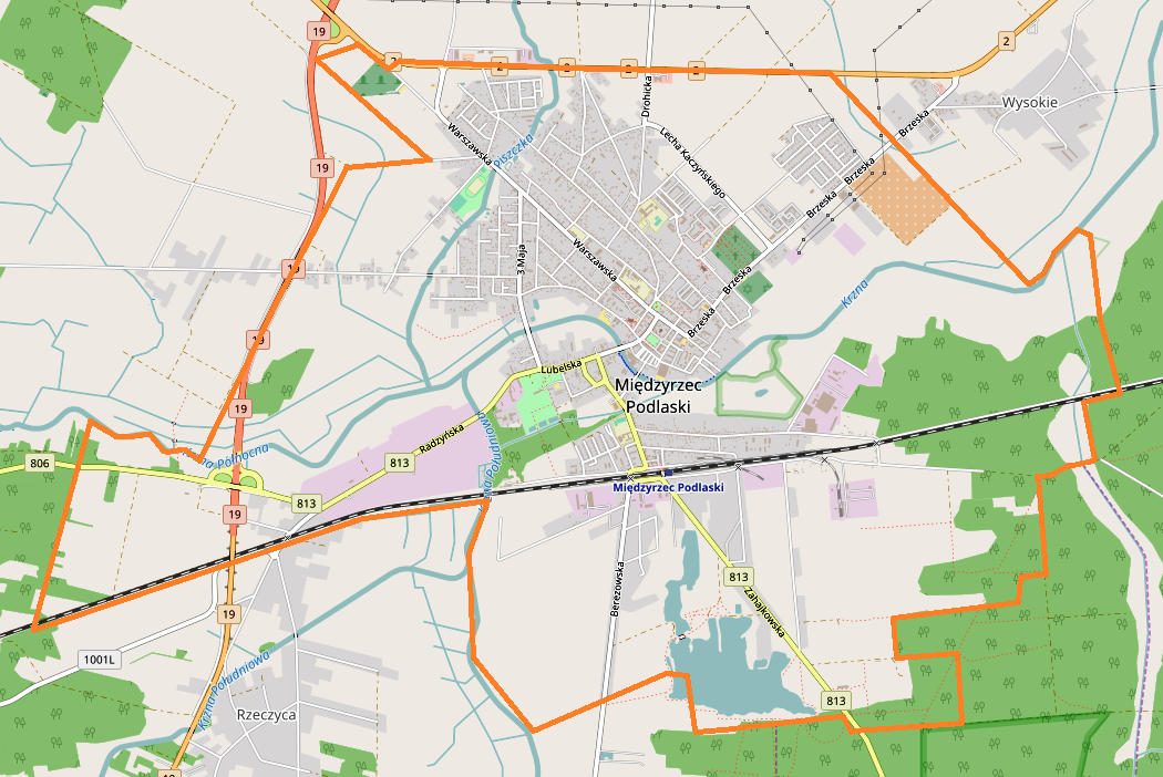
English: Location map |
| Date | |
| Source | Own work |
| Author | Smat |
| Description |
Polski: Mapa Międzyrzecza Podlaskiego, Polska
English: Map of Międzyrzec Podlaski, Poland |
|||||||||
| Date | ||||||||||
| Source | You may find a page on the OpenStreetMap wiki page for Międzyrzec Podlaski | |||||||||
| Creator |
OpenStreetMap contributors OpenStreetMap contributors |
|||||||||
| Permission (Reusing this file) |
OpenStreetMap data is available under the Open Database License (details). Map tiles are licensed under the Creative Commons Attribution-ShareAlike 2.0 license (CC-BY-SA 2.0).
This file is licensed under the Creative Commons Attribution-Share Alike 2.0 Generic license.
|
|||||||||
| Geotemporal data | ||||||||||
| Bounding box |
|
|||||||||
| Georeferencing | If inappropriate please set warp_status = skip to hide. | |||||||||
Licensing
[edit]
| This work contains information from OpenStreetMap, which is made available under the Open Database License (ODbL).
The ODbL does not require any particular license for maps produced from ODbL data. Prior to 1 August 2020, map tiles produced by the OpenStreetMap Foundation were licensed under the CC-BY-SA-2.0 license. Maps produced by other people may be subject to other licences. |
File history
Click on a date/time to view the file as it appeared at that time.
| Date/Time | Thumbnail | Dimensions | User | Comment | |
|---|---|---|---|---|---|
| current | 14:30, 25 August 2017 | | 1,050 × 702 (499 KB) | Smat (talk | contribs) | User created page with UploadWizard |
You cannot overwrite this file.
File usage on Commons
There are no pages that use this file.
File usage on other wikis
The following other wikis use this file:
- Usage on pl.wikipedia.org
- Międzyrzec Podlaski (stacja kolejowa)
- Stołpno
- Cmentarz żydowski w Międzyrzecu Podlaskim
- Synagoga w Międzyrzecu Podlaskim
- Kościół św. Mikołaja w Międzyrzecu Podlaskim
- Parafia św. Józefa Oblubieńca Najświętszej Maryi Panny w Międzyrzecu Podlaskim
- Parafia Świętych Apostołów Piotra i Pawła w Międzyrzecu Podlaskim
- Parafia Chrystusa Króla w Międzyrzecu Podlaskim
- Kościół św. Józefa Oblubieńca Najświętszej Marii Panny w Międzyrzecu Podlaskim
- Kościół Świętych Apostołów Piotra i Pawła w Międzyrzecu Podlaskim
- Pałac Potockich w Międzyrzecu Podlaskim
- Cmentarz w Międzyrzecu Podlaskim
- Kościół Chrystusa Króla w Międzyrzecu Podlaskim
- Liceum Ogólnokształcące im. Władysława Sikorskiego w Międzyrzecu Podlaskim
- Parafia św. Mikołaja w Międzyrzecu Podlaskim
- Kaplica św. Rocha w Międzyrzecu Podlaskim
- Moduł:Mapa/dane/Międzyrzec Podlaski
- Usage on pl.wikibooks.org