File:Mexico geoloc blank.svg
Jump to navigation
Jump to search

Size of this PNG preview of this SVG file: 800 × 495 pixels. Other resolutions: 320 × 198 pixels | 640 × 396 pixels | 1,024 × 634 pixels | 1,280 × 792 pixels | 2,560 × 1,585 pixels | 1,575 × 975 pixels.
Original file (SVG file, nominally 1,575 × 975 pixels, file size: 113 KB)
Captions
Captions
Add a one-line explanation of what this file represents
Summary
[edit]
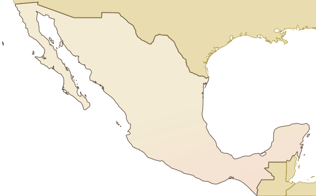
| Description | SVG map without colors for the geolocation of cities |
| Source | vectorised from a screenshot from Demis.nl, by Benoit THIBAUD / Frombenny, 29/09/2006 |
| Author | edited by 22:50, 22 November 2007 (UTC) |
| Permission (Reusing this file) |
Public Domain, Dominio Público, Domaine Publique |
This image is in the public domain because it came from the site https://www.demis.nl/products/web-map-server/examples/ and was released by the copyright holder. Permission is granted to copy, distribute and/or modify this map since it is based on free of copyright images from: www.demis.nl. See also approval email on de.wp and its clarification.
|
| This work has been released into the public domain by its copyright holder, www.demis.nl. This applies worldwide. In some countries this may not be legally possible; if so: www.demis.nl grants anyone the right to use this work for any purpose, without any conditions, unless such conditions are required by law.
|
Licensing
[edit]

|
Permission is granted to copy, distribute and/or modify this document under the terms of the GNU Free Documentation License, Version 1.2 or any later version published by the Free Software Foundation; with no Invariant Sections, no Front-Cover Texts, and no Back-Cover Texts. A copy of the license is included in the section entitled GNU Free Documentation License. |
| This file is licensed under the Creative Commons Attribution-Share Alike 3.0 Unported license. | ||
| ||
| This licensing tag was added to this file as part of the GFDL licensing update. |
File history
Click on a date/time to view the file as it appeared at that time.
| Date/Time | Thumbnail | Dimensions | User | Comment | |
|---|---|---|---|---|---|
| current | 22:53, 22 November 2007 | | 1,575 × 975 (113 KB) | Michiel1972 (talk | contribs) | |
| 22:50, 22 November 2007 |  | 1,575 × 975 (113 KB) | Michiel1972 (talk | contribs) | == Summary == {{Information |Description= SVG map without colors for the geolocation of cities |Source= vectorised from a screenshot from Demis.nl, by Benoit THIBAUD / Frombenny, 29/09/2006 |Date= |Author= edited by ~~~~~ |Permission= Public Domain, Dom |
You cannot overwrite this file.
File usage on Commons
There are no pages that use this file.
File usage on other wikis
The following other wikis use this file:
- Usage on de.wikipedia.org