File:Mexico Tabasco Tacotalpa location map.svg
Jump to navigation
Jump to search

Size of this PNG preview of this SVG file: 800 × 477 pixels. Other resolutions: 320 × 191 pixels | 640 × 382 pixels | 1,024 × 610 pixels | 1,280 × 763 pixels | 2,560 × 1,526 pixels | 1,050 × 626 pixels.
Original file (SVG file, nominally 1,050 × 626 pixels, file size: 675 KB)
Captions
Captions
Add a one-line explanation of what this file represents
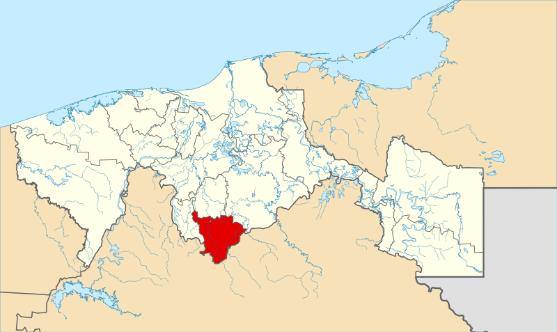
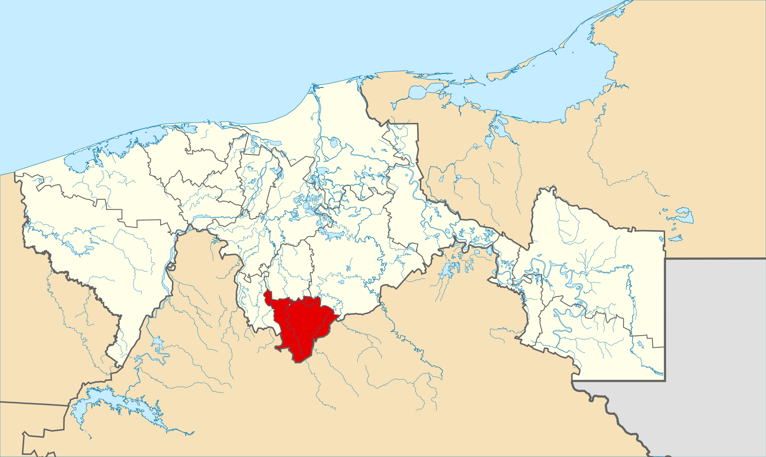
| Description | Mapa del municipio de Tacotalpa en el estado mexicano de Tabasco | ||
| Date | |||
| Source |
Own work This W3C-unspecified vector image was created with Inkscape . |
||
| Author | Battroid | ||
| Permission (Reusing this file) |
|
File history
Click on a date/time to view the file as it appeared at that time.
| Date/Time | Thumbnail | Dimensions | User | Comment | |
|---|---|---|---|---|---|
| current | 23:12, 29 April 2012 | | 1,050 × 626 (675 KB) | Addicted04 (talk | contribs) | hidrografía |
| 06:21, 10 March 2012 |  | 1,050 × 626 (261 KB) | Battroid (talk | contribs) | {{Information |Description=Mapa del municipio de Tacotalpa en el estado mexicano de Tabasco |Source={{own}} {{Inkscape}} |Date=2012-03-09 |Author= Battroid |Permission={{PD-self}} |other_versions= }} Category:Maps of Tabasco |
You cannot overwrite this file.
File usage on Commons
There are no pages that use this file.
File usage on other wikis
The following other wikis use this file:
- Usage on es.wikipedia.org