File:Mexico Nayarit location map.svg
Jump to navigation
Jump to search

Size of this PNG preview of this SVG file: 497 × 600 pixels. Other resolutions: 199 × 240 pixels | 398 × 480 pixels | 636 × 768 pixels | 849 × 1,024 pixels | 1,697 × 2,048 pixels | 1,553 × 1,874 pixels.
Original file (SVG file, nominally 1,553 × 1,874 pixels, file size: 194 KB)
Captions
Captions
Add a one-line explanation of what this file represents
Summary
[edit]
| Description |
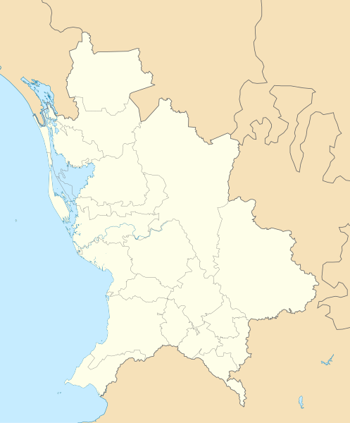
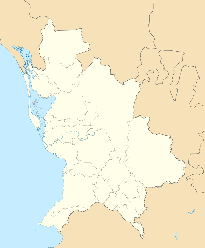
English: Location Map of Nayarit
Equirectangular projection, Geographic limits of the map:
|
| Date | |
| Source | Own work |
| Author | Addicted04 |
Licensing
[edit]
| I, the copyright holder of this work, release this work into the public domain. This applies worldwide. In some countries this may not be legally possible; if so: I grant anyone the right to use this work for any purpose, without any conditions, unless such conditions are required by law. |
File history
Click on a date/time to view the file as it appeared at that time.
| Date/Time | Thumbnail | Dimensions | User | Comment | |
|---|---|---|---|---|---|
| current | 19:22, 7 August 2011 | | 1,553 × 1,874 (194 KB) | Battroid (talk | contribs) | == Summary == {{Information |Description={{en|1=Location Map of Nayarit Equirectangular projection, Geographic limits of the map: * N: 23.30° N * S: 20.50° N * W: 106.00° W * E: 103.50° W}} |Source={{own}} |Author=[[User:Addicted04|Add |
| 01:07, 6 January 2011 |  | 1,553 × 1,874 (193 KB) | Addicted04 (talk | contribs) | {{Information |Description={{en|1=Location Map of Nayarit Equirectangular projection, Geographic limits of the map: * N: 23.30° N * S: 20.50° N * W: 106.00° W * E: 103.50° W}} |Source={{own}} |Author=Addicted04 |Dat |
You cannot overwrite this file.
File usage on Commons
The following 6 pages use this file:
File usage on other wikis
The following other wikis use this file:
- Usage on ar.wikipedia.org
- Usage on ba.wikipedia.org
- Usage on bg.wikipedia.org
- Usage on ceb.wikipedia.org
- Usage on ce.wikipedia.org
- Usage on de.wikipedia.org
- Usage on en.wikipedia.org
- Usage on eo.wikipedia.org
- Usage on es.wikipedia.org
View more global usage of this file.