File:Mexico Chihuahua location map.svg
Jump to navigation
Jump to search

Size of this PNG preview of this SVG file: 532 × 600 pixels. Other resolutions: 213 × 240 pixels | 426 × 480 pixels | 681 × 768 pixels | 908 × 1,024 pixels | 1,817 × 2,048 pixels | 2,176 × 2,453 pixels.
Original file (SVG file, nominally 2,176 × 2,453 pixels, file size: 805 KB)
Captions
Captions
Add a one-line explanation of what this file represents
W3C-validity not checked.
| Description |
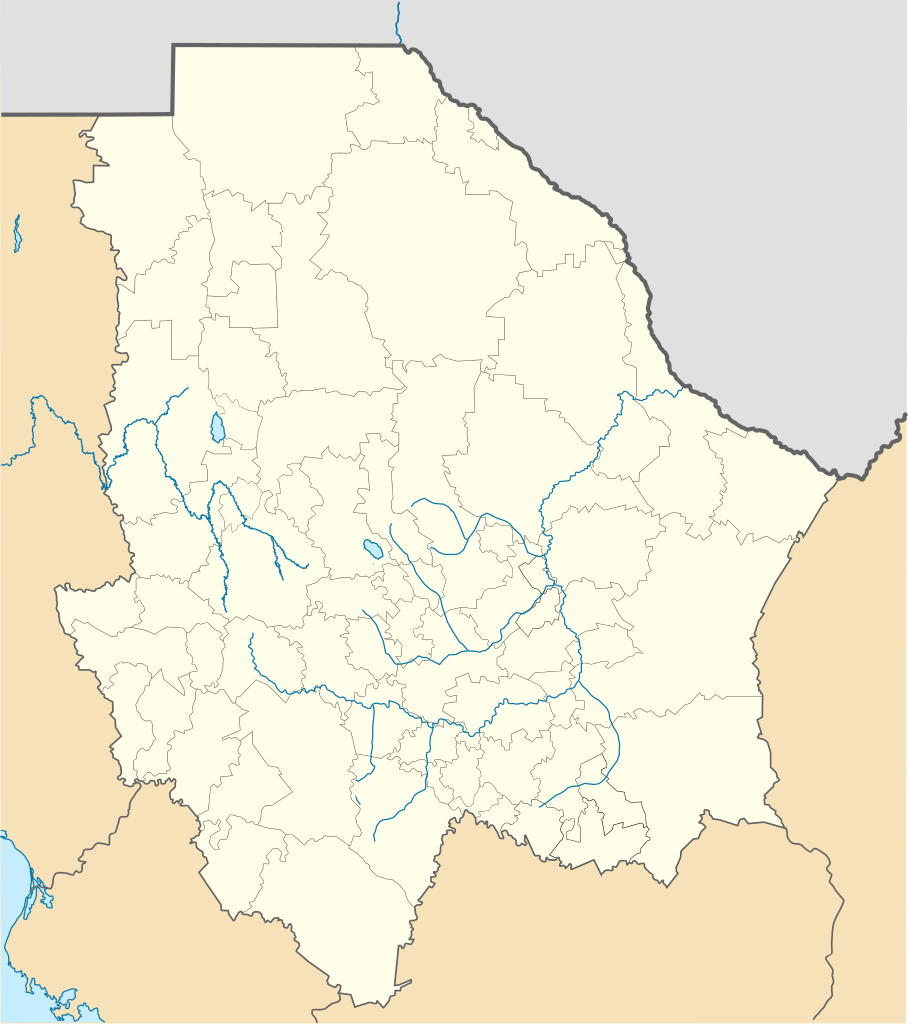
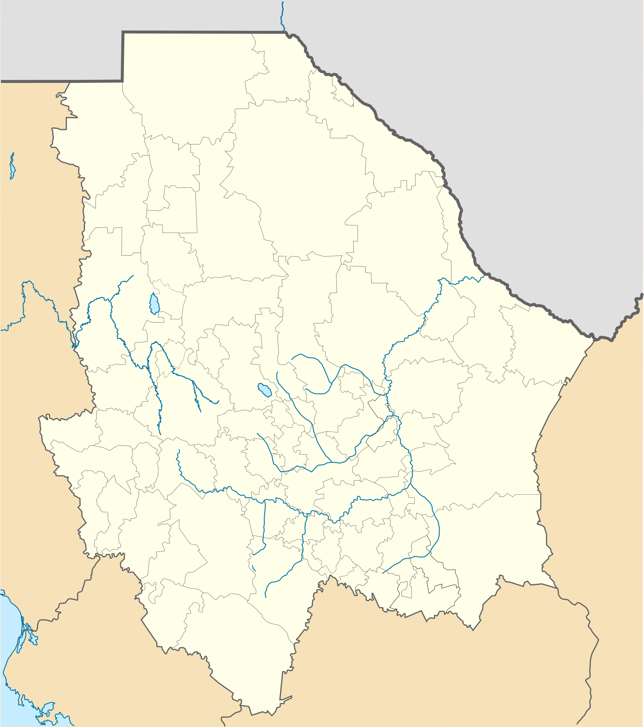
Location Map of Chihuahua Equirectangular projection, Geographic limits of the map:
|
| Date | |
| Source | Own work |
| Author | Battroid (talk) |
I, the copyright holder of this work, hereby publish it under the following license:
| I, the copyright holder of this work, release this work into the public domain. This applies worldwide. In some countries this may not be legally possible; if so: I grant anyone the right to use this work for any purpose, without any conditions, unless such conditions are required by law. |
File history
Click on a date/time to view the file as it appeared at that time.
| Date/Time | Thumbnail | Dimensions | User | Comment | |
|---|---|---|---|---|---|
| current | 23:15, 4 November 2012 | | 2,176 × 2,453 (805 KB) | Battroid (talk | contribs) | {{ValidSVG}} {{Information |Description=Location Map of Chihuahua Equirectangular projection, Geographic limits of the map: * N: 32.03° N * S: 25.45° N * W: 109.47° W * E: 102.82° W |Source={{own work}} |Date=2011-08-21 |Author=[[... |
| 07:06, 5 March 2012 |  | 2,176 × 2,453 (728 KB) | Battroid (talk | contribs) | {{ValidSVG}} {{Information |Description=Location Map of Chihuahua Equirectangular projection, Geographic limits of the map: * N: 32.03° N * S: 25.45° N * W: 109.47° W * E: 102.82° W |Source={{own work}} |Date=2011-08-21 |Author=[[... | |
| 19:44, 21 August 2011 |  | 2,176 × 2,453 (721 KB) | Battroid (talk | contribs) | {{ValidSVG}} {{Information |Description=Location Map of Chihuahua Equirectangular projection, Geographic limits of the map: * N: 32.03° N * S: 25.45° N * W: 109.47° W * E: 102.82° W |Source={{own work}} |Date=2011-08-21 |Author=[[Use |
You cannot overwrite this file.
File usage on Commons
The following 8 pages use this file:
File usage on other wikis
The following other wikis use this file:
- Usage on ar.wikipedia.org
- Usage on bg.wikipedia.org
- Usage on ceb.wikipedia.org
- Usage on ce.wikipedia.org
- Usage on de.wikipedia.org
- Chihuahua (Stadt)
- Barranca del Cobre
- Ciudad Juárez
- Nuevo Casas Grandes
- Parral (Chihuahua)
- Ojinaga
- Cuauhtémoc (Chihuahua)
- Wikipedia:Kartenwerkstatt/Positionskarten/Nordamerika
- Estadio Monumental Chihuahua
- Estadio Olímpico Benito Juárez
- Naica
- Creel
- Meoqui
- Vorlage:Positionskarte Mexiko Chihuahua
- Cerro Mohinora
- Nationalpark Cumbres de Majalca
- Batopilas
- Valle de Allende
- Estadio Olímpico Universitario José Reyes Baeza
- Casas Grandes
- Usage on en.wikipedia.org
- Copper Canyon
- Ciudad Juárez
- Parral, Chihuahua
- Ciudad Madera
- Camargo, Chihuahua
- Chihuahua International Airport
- Ciudad Juárez International Airport
- Delicias, Chihuahua
- Batopilas, Chihuahua
- User:Stone/MPS
- Lake Arareco
- Puerto Palomas, Chihuahua
- Batopilas Municipality
- Santa Bárbara, Chihuahua
- Ascensión, Chihuahua
- Guachochi
- Carichí
- Témoris
View more global usage of this file.