File:Metro Paris M15-plan.svg
Jump to navigation
Jump to search

Size of this PNG preview of this SVG file: 800 × 356 pixels. Other resolutions: 320 × 142 pixels | 640 × 285 pixels | 1,024 × 456 pixels | 1,280 × 569 pixels | 2,560 × 1,139 pixels | 1,360 × 605 pixels.
Original file (SVG file, nominally 1,360 × 605 pixels, file size: 141 KB)
Captions
Captions
Add a one-line explanation of what this file represents
Summary
[edit]
| Description |
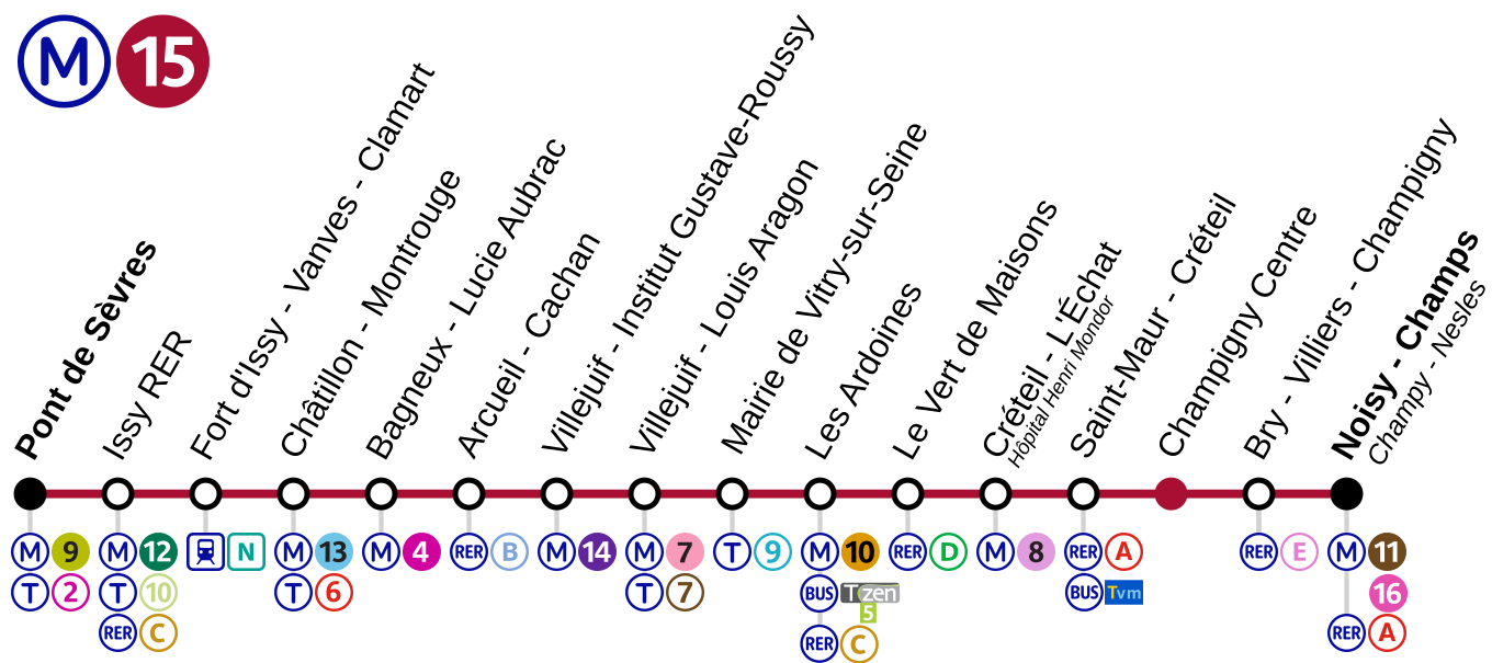
English: Grand Paris Express Ligne rouge - plan de la ligne soumise à enquête en 2012 |
| Source | Own work |
| Author | Hektor |
Licensing
[edit]
I, the copyright holder of this work, hereby publish it under the following licenses:
This file is licensed under the Creative Commons Attribution-Share Alike 3.0 Unported license.
- You are free:
- to share – to copy, distribute and transmit the work
- to remix – to adapt the work
- Under the following conditions:
- attribution – You must give appropriate credit, provide a link to the license, and indicate if changes were made. You may do so in any reasonable manner, but not in any way that suggests the licensor endorses you or your use.
- share alike – If you remix, transform, or build upon the material, you must distribute your contributions under the same or compatible license as the original.

|
Permission is granted to copy, distribute and/or modify this document under the terms of the GNU Free Documentation License, Version 1.2 or any later version published by the Free Software Foundation; with no Invariant Sections, no Front-Cover Texts, and no Back-Cover Texts. A copy of the license is included in the section entitled GNU Free Documentation License. |
You may select the license of your choice.
File history
Click on a date/time to view the file as it appeared at that time.
| Date/Time | Thumbnail | Dimensions | User | Comment | |
|---|---|---|---|---|---|
| current | 13:04, 31 December 2019 | | 1,360 × 605 (141 KB) | AlexBurn44 (talk | contribs) | +++ |
| 09:35, 23 October 2019 |  | 1,360 × 605 (141 KB) | AlexBurn44 (talk | contribs) | ++ | |
| 14:52, 11 July 2017 |  | 625 × 263 (160 KB) | The BurnPheonix (talk | contribs) | ajout corres | |
| 21:18, 24 March 2017 |  | 1,320 × 555 (110 KB) | The BurnPheonix (talk | contribs) | Modification issy | |
| 21:16, 24 March 2017 |  | 1,320 × 555 (110 KB) | The BurnPheonix (talk | contribs) | Modification logo t9 | |
| 21:57, 21 March 2017 |  | 1,320 × 555 (105 KB) | The BurnPheonix (talk | contribs) | Correspondance Villejuif | |
| 11:44, 3 September 2016 |  | 1,320 × 555 (103 KB) | The BurnPheonix (talk | contribs) | LOGO T9 | |
| 11:43, 3 September 2016 |  | 1,320 × 555 (103 KB) | The BurnPheonix (talk | contribs) | T9 a Vitry | |
| 09:26, 26 January 2014 |  | 1,320 × 555 (98 KB) | Hektor (talk | contribs) | MàJ couleurs | |
| 18:37, 25 September 2012 |  | 1,320 × 555 (97 KB) | Hektor (talk | contribs) | Add RER E at Champigny Bry Villiers |
You cannot overwrite this file.
File usage on Commons
The following 16 pages use this file:
- User:Chumwa/OgreBot/Potential transport maps/2016 September 1-10
- User:Chumwa/OgreBot/Potential transport maps/2017 July 11-20
- User:Chumwa/OgreBot/Potential transport maps/2017 March 21-31
- User:Chumwa/OgreBot/Potential transport maps/2019 October 21-31
- User:Chumwa/OgreBot/Public transport information/2016 September 1-10
- User:Chumwa/OgreBot/Public transport information/2017 July 11-20
- User:Chumwa/OgreBot/Public transport information/2017 March 21-31
- User:Chumwa/OgreBot/Public transport information/2019 October 21-31
- User:Chumwa/OgreBot/Transport Maps/2016 September 1-10
- User:Chumwa/OgreBot/Transport Maps/2017 July 11-20
- User:Chumwa/OgreBot/Transport Maps/2017 March 21-31
- User:Chumwa/OgreBot/Transport Maps/2019 October 21-31
- User:Chumwa/OgreBot/Travel and communication maps/2016 September 1-10
- User:Chumwa/OgreBot/Travel and communication maps/2017 July 11-20
- User:Chumwa/OgreBot/Travel and communication maps/2017 March 21-31
- File:Metro ligne rouge gpx-plan.svg (file redirect)
File usage on other wikis
The following other wikis use this file:
- Usage on ar.wikipedia.org
- Usage on de.wikipedia.org
- Usage on eo.wikipedia.org
- Usage on fr.wikipedia.org