File:Melfi - ferrovia Foggia-Potenza - ATR.220.jpg
Jump to navigation
Jump to search
Size of this preview: 800 × 494 pixels. Other resolutions: 320 × 198 pixels | 640 × 395 pixels | 1,024 × 632 pixels | 1,280 × 790 pixels.
Original file (1,280 × 790 pixels, file size: 364 KB, MIME type: image/jpeg)
Captions
Captions
Add a one-line explanation of what this file represents
Summary
[edit]
| Description |
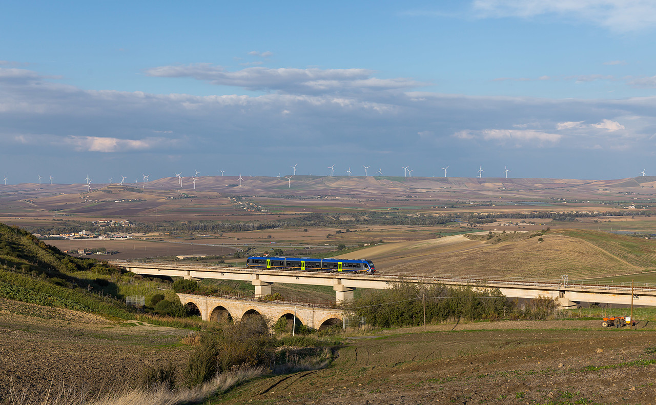
Italiano: Un autotreno ATR 220 percorre un viadotto su una breve rettifica di tracciato della ferrovia Foggia-Potenza, fra le stazioni di Rocchetta Sant'Antonio-Lacedonia e Leonessa, nel territorio comunale di Melfi. Davanti al nuovo viadotto si riconosce il ponte sul vecchio tracciato abbandonato. |
| Date | Taken on 3 November 2016, 14:59:01 |
| Source | http://bahnbilder.ch/picture/24873 |
| Author | Kabelleger / David Gubler (http://www.bahnbilder.ch) |
| Camera location | | View this and other nearby images on: OpenStreetMap |
|---|
Licensing
[edit]
This file is licensed under the Creative Commons Attribution-Share Alike 4.0 International license.
- You are free:
- to share – to copy, distribute and transmit the work
- to remix – to adapt the work
- Under the following conditions:
- attribution – You must give appropriate credit, provide a link to the license, and indicate if changes were made. You may do so in any reasonable manner, but not in any way that suggests the licensor endorses you or your use.
- share alike – If you remix, transform, or build upon the material, you must distribute your contributions under the same or compatible license as the original.
File history
Click on a date/time to view the file as it appeared at that time.
| Date/Time | Thumbnail | Dimensions | User | Comment | |
|---|---|---|---|---|---|
| current | 23:14, 2 January 2021 | | 1,280 × 790 (364 KB) | Arbalete (talk | contribs) | Uploaded a work by Kabelleger / David Gubler (http://www.bahnbilder.ch) from http://bahnbilder.ch/picture/24873 with UploadWizard |
You cannot overwrite this file.
File usage on Commons
The following 2 pages use this file:
File usage on other wikis
The following other wikis use this file:
- Usage on hu.wikipedia.org
- Usage on it.wikipedia.org
- Usage on www.wikidata.org