File:Meesapulimala topo.jpg
Jump to navigation
Jump to search

Size of this preview: 750 × 600 pixels. Other resolutions: 300 × 240 pixels | 600 × 480 pixels | 960 × 768 pixels | 1,280 × 1,024 pixels | 1,500 × 1,200 pixels.
Original file (1,500 × 1,200 pixels, file size: 204 KB, MIME type: image/jpeg)
Captions
Captions
Add a one-line explanation of what this file represents
Summary
[edit]
| Description |
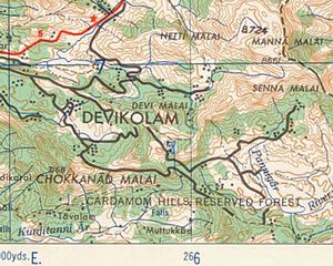
English: toposheet |
| Date | |
| Source | toposheet prepared by the Army Map Service (LU), Corps of Engineers, U.S. Army, Washington D.C.. compiled in 1954 |
| Author | Army Corps |
Licensing
[edit]
This file is a work of a U.S. Army soldier or employee, taken or made as part of that person's official duties. As a work of the U.S. federal government, it is in the public domain in the United States.
|
 |
File history
Click on a date/time to view the file as it appeared at that time.
| Date/Time | Thumbnail | Dimensions | User | Comment | |
|---|---|---|---|---|---|
| current | 22:08, 6 August 2011 | | 1,500 × 1,200 (204 KB) | Hohenluft (talk | contribs) |
You cannot overwrite this file.
File usage on Commons
There are no pages that use this file.
File usage on other wikis
The following other wikis use this file:
- Usage on ml.wikipedia.org