File:Meenikunno soojärv.jpg
Jump to navigation
Jump to search

Size of this preview: 800 × 533 pixels. Other resolutions: 320 × 213 pixels | 640 × 427 pixels | 1,024 × 683 pixels | 1,280 × 853 pixels | 1,752 × 1,168 pixels.
Original file (1,752 × 1,168 pixels, file size: 164 KB, MIME type: image/jpeg)
Captions
Captions
Add a one-line explanation of what this file represents
Summary
[edit]
| Description |
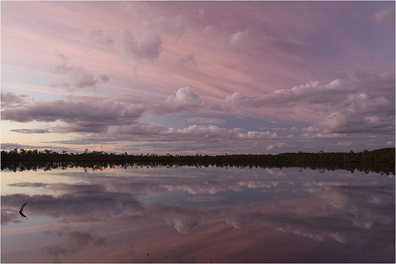
Eesti: Meenikunno soojärv |
| Date | Taken on 7 September 2007 |
| Source | Panoramio |
| Author | Tuderna |
| Camera location | | View this and other nearby images on: OpenStreetMap |
|---|
Licensing
[edit]
This file is licensed under the Creative Commons Attribution 3.0 Unported license.
- You are free:
- to share – to copy, distribute and transmit the work
- to remix – to adapt the work
- Under the following conditions:
- attribution – You must give appropriate credit, provide a link to the license, and indicate if changes were made. You may do so in any reasonable manner, but not in any way that suggests the licensor endorses you or your use.
| This image, which was originally posted to Panoramio, was reviewed on 19 March 2012 by the administrator or trusted user Materialscientist, who confirmed that it was available on Panoramio under the above license on that date. |
File history
Click on a date/time to view the file as it appeared at that time.
| Date/Time | Thumbnail | Dimensions | User | Comment | |
|---|---|---|---|---|---|
| current | 06:09, 19 March 2012 | | 1,752 × 1,168 (164 KB) | Tuderna12 (talk | contribs) | {{Information |Description=Meenikunno Soojärv |Source=[http://www.panoramio.com/photo/8698418 panoramio] |Date=2007-09-07 20:06 |Author=[http://www.panoramio.com/user/1496126 Tuderna] |Permission= |other_versions= }} {{Location dec|57.939553|27.318723... |
You cannot overwrite this file.
File usage on Commons
There are no pages that use this file.
File usage on other wikis
The following other wikis use this file:
- Usage on et.wikipedia.org