File:Mediterranean.svg
Jump to navigation
Jump to search

Size of this PNG preview of this SVG file: 154 × 78 pixels. Other resolutions: 320 × 162 pixels | 640 × 324 pixels | 1,024 × 519 pixels | 1,280 × 648 pixels | 2,560 × 1,297 pixels.
Original file (SVG file, nominally 154 × 78 pixels, file size: 155 KB)
Captions
Captions
Add a one-line explanation of what this file represents
Summary
[edit]
| Description |
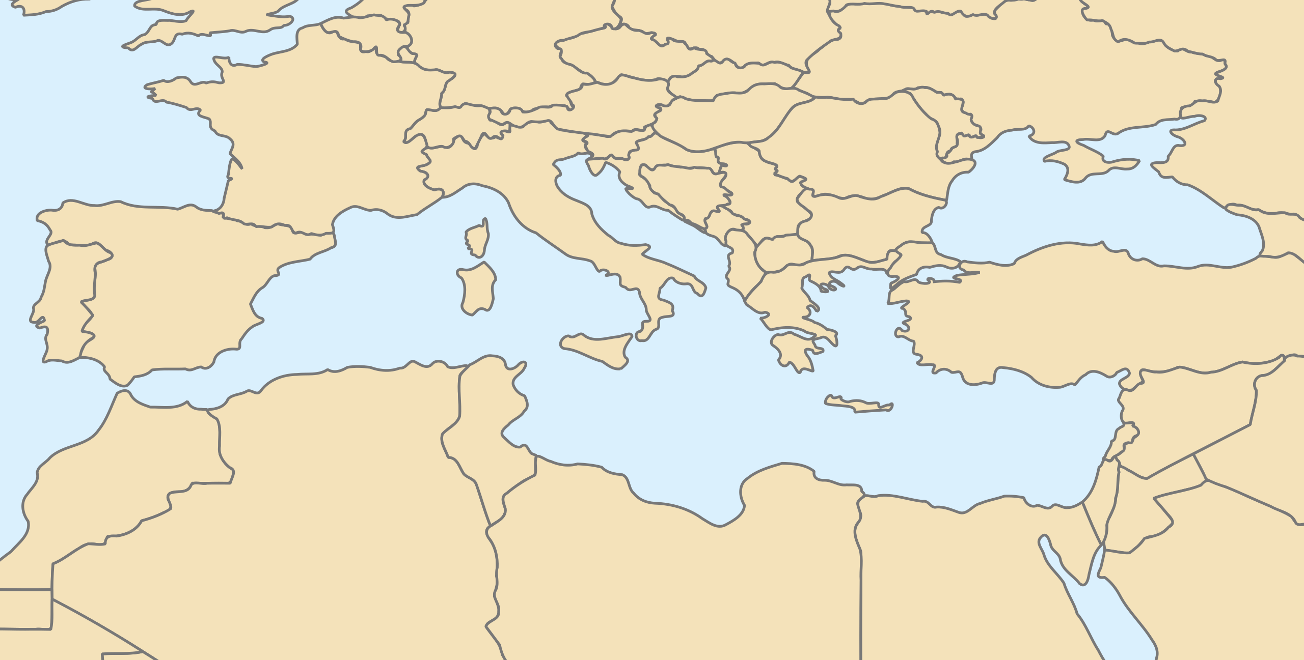
English: Blanck map of Mediterranean sea for geolocation ; null projection (en:Equirectangular projection/bilinear projection).
Français : Une carte vierge de la mer Méditerranée pour la géolocalisation (image utilisée par fr:Modèle:Géolocalisation/Méditerranée) ; projection nulle (projection bilinéaire). |
||
| Date | |||
| Source | Découpé dans Image:World map with nations.svg à la position (482,108) | ||
| Author | STyx | ||
| Permission (Reusing this file) |
|
||
| Other versions |
Derivative works of this file: |
Licensing
[edit]
| I, the copyright holder of this work, release this work into the public domain. This applies worldwide. In some countries this may not be legally possible; if so: I grant anyone the right to use this work for any purpose, without any conditions, unless such conditions are required by law. |
File history
Click on a date/time to view the file as it appeared at that time.
| Date/Time | Thumbnail | Dimensions | User | Comment | |
|---|---|---|---|---|---|
| current | 18:15, 7 April 2008 | | 154 × 78 (155 KB) | STyx (talk | contribs) | {{Information |Description={{en}}Blanck map of Mediterranean sea for geolocation ; null projection (en:Equirectangular projection/bilinear projection). {{fr}}Une carte vierge de la mer Méditerranée pour la géolocalisation (image utilisée par [[:f |
You cannot overwrite this file.
File usage on Commons
The following 4 pages use this file:
File usage on other wikis
The following other wikis use this file:
- Usage on fr.wikipedia.org
- Usage on he.wikipedia.org
- Usage on oc.wikipedia.org