File:Massif du Vignemale en 1967.jpg
Jump to navigation
Jump to search
Size of this preview: 800 × 498 pixels. Other resolutions: 320 × 199 pixels | 640 × 398 pixels | 1,024 × 638 pixels | 1,280 × 797 pixels | 3,095 × 1,927 pixels.
Original file (3,095 × 1,927 pixels, file size: 3.85 MB, MIME type: image/jpeg)
Captions
Captions
Add a one-line explanation of what this file represents
Summary
[edit]
| Description |
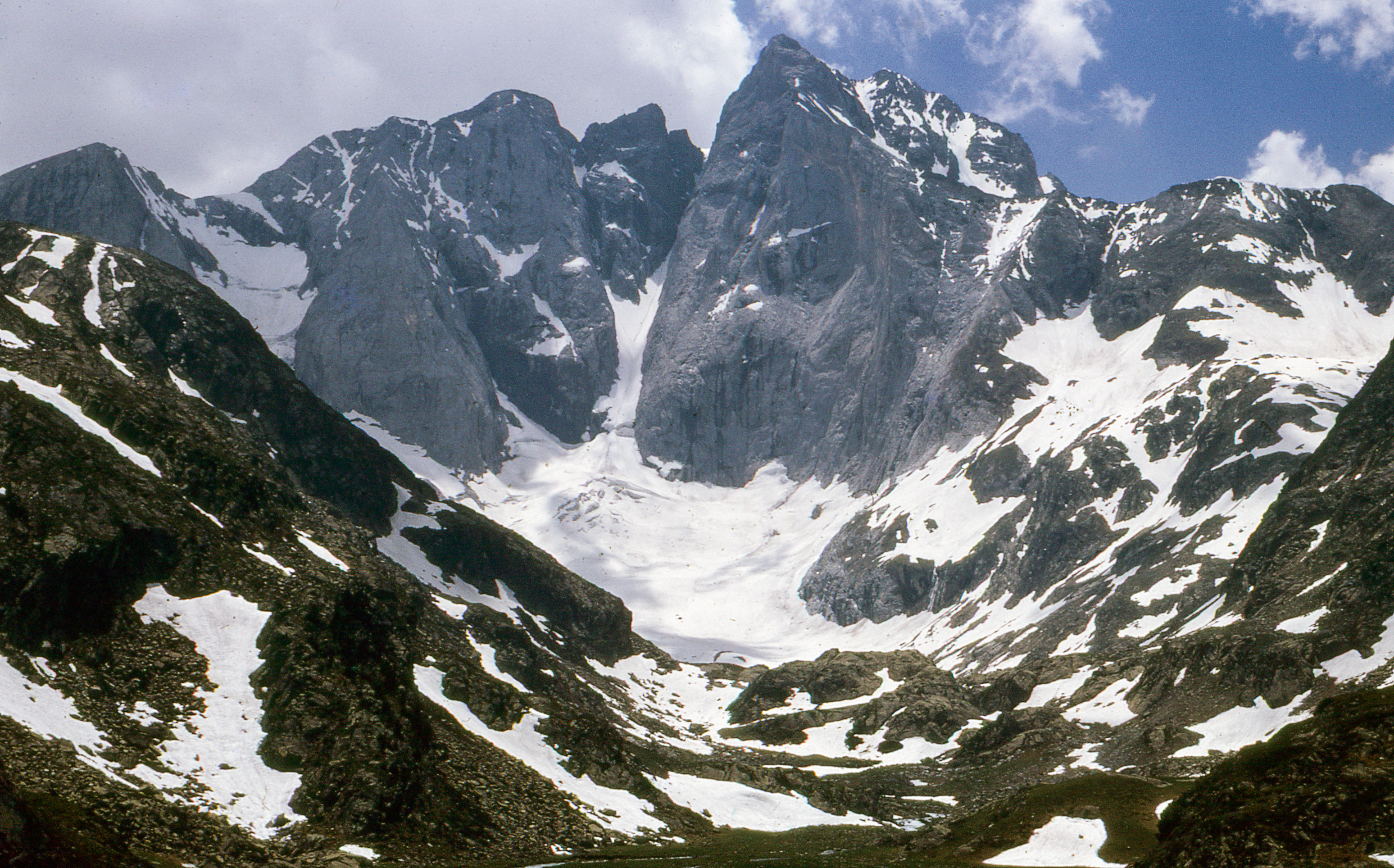
The massif of Vignemale, seen from the GR10 at the foot of the Little Oulettes. Here you can see the harmful effects of global warming: now the glaciers have disappeared. |
| Camera | |
| Date | Taken on 9 August 1967 |
| Source | Own work |
| Author | Daniel VILLAFRUELA. |
| Permission (Reusing this file) |
This file is licensed under the Creative Commons Attribution-Share Alike 4.0 International license.
|
| Object location | | View this and other nearby images on: OpenStreetMap |
|---|
| Camera location | | View this and other nearby images on: OpenStreetMap |
|---|
File history
Click on a date/time to view the file as it appeared at that time.
| Date/Time | Thumbnail | Dimensions | User | Comment | |
|---|---|---|---|---|---|
| current | 08:43, 11 February 2016 | | 3,095 × 1,927 (3.85 MB) | Daniel VILLAFRUELA (talk | contribs) | Cleaned |
| 08:17, 11 February 2016 |  | 3,095 × 1,927 (3.04 MB) | Daniel VILLAFRUELA (talk | contribs) | Color balance | |
| 06:36, 14 August 2011 |  | 3,095 × 1,927 (2.06 MB) | Daniel VILLAFRUELA (talk | contribs) | {{Information |Description ={{fr|1=Le massif du Vignemale, vu du GR10, au pied des Petites Oulettes, où l'on peut constater les méfait du réchauffement climatique: aujourd'hui les glaciers ont pratiquement disparu.}} |Source ={{own}} |Author |
You cannot overwrite this file.
File usage on Commons
The following page uses this file:
File usage on other wikis
The following other wikis use this file:
- Usage on an.wikipedia.org