File:Massachusetts - 1979 LOC 81690116.jpg
Jump to navigation
Jump to search
Size of this preview: 800 × 527 pixels. Other resolutions: 320 × 211 pixels | 640 × 421 pixels | 1,024 × 674 pixels | 1,280 × 842 pixels | 2,560 × 1,685 pixels | 4,765 × 3,136 pixels.
Original file (4,765 × 3,136 pixels, file size: 1.68 MB, MIME type: image/jpeg)
Captions
Captions
Add a one-line explanation of what this file represents
Summary
[edit]| Description |
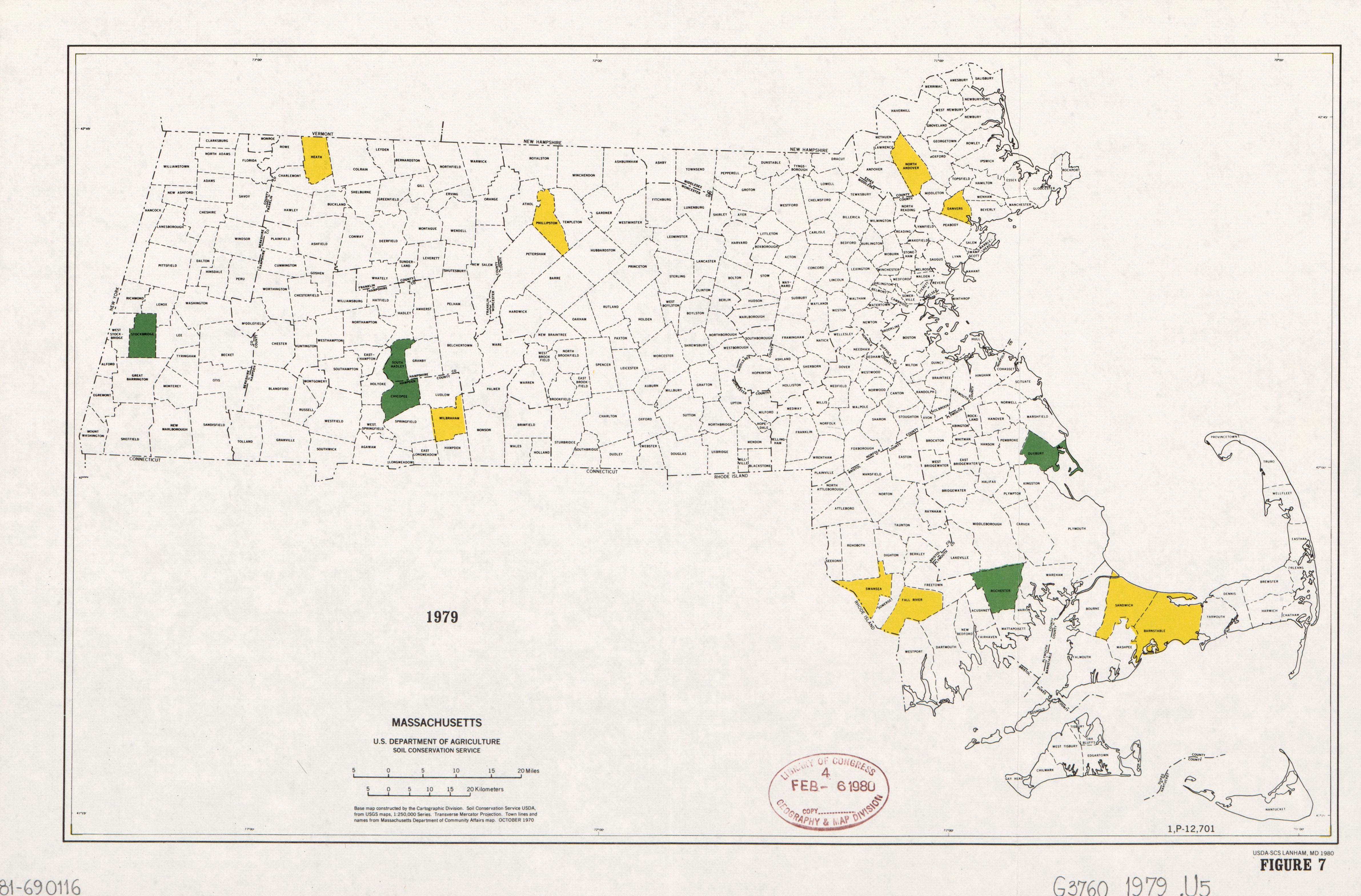
English: "Base map constructed by the Cartographic Division, Soil Conservation Service, USDA, from USGS maps, 1:250,000 Series." "Town lines and names from Massachusetts Department of Community Affairs map, October 1970." In lower margin: Figure 7. Without legend. Some town areas tinted yellow or green. "1,P-12,701." Available also through the Library of Congress Web site as a raster image. |
||
| Title | Massachusetts : 1979 | ||
| Shelf ID | G3760 1979 .U5 | ||
| Date | |||
| Source | https://www.loc.gov/item/81690116/ | ||
| Author | United States. Soil Conservation Service | ||
| Permission (Reusing this file) |
|
||
| Other versions |
|
||
| Location | United States · Massachusetts | ||
| Part of | American Memory · General Maps · Catalog · Geography And Map Division | ||
| Subject | United States · Maps · Massachusetts |


Licensing
[edit]
This work is in the public domain in the United States because it is a work prepared by an officer or employee of the United States Government as part of that person’s official duties under the terms of Title 17, Chapter 1, Section 105 of the US Code.
Note: This only applies to original works of the Federal Government and not to the work of any individual U.S. state, territory, commonwealth, county, municipality, or any other subdivision. This template also does not apply to postage stamp designs published by the United States Postal Service since 1978. (See § 313.6(C)(1) of Compendium of U.S. Copyright Office Practices). It also does not apply to certain US coins; see The US Mint Terms of Use.
|
 | |
| This file has been identified as being free of known restrictions under copyright law, including all related and neighboring rights. | ||
File history
Click on a date/time to view the file as it appeared at that time.
| Date/Time | Thumbnail | Dimensions | User | Comment | |
|---|---|---|---|---|---|
| current | 01:55, 3 June 2018 | | 4,765 × 3,136 (1.68 MB) | Fæ (talk | contribs) | LOC Maps https://www.loc.gov/item/81690116/ #2947 |
You cannot overwrite this file.
File usage on Commons
The following page uses this file: