File:Masarykovo namesti Kyjov 02.jpg
Jump to navigation
Jump to search
Size of this preview: 800 × 452 pixels. Other resolutions: 320 × 181 pixels | 640 × 361 pixels | 1,024 × 578 pixels | 1,280 × 722 pixels | 3,391 × 1,914 pixels.
Original file (3,391 × 1,914 pixels, file size: 2.58 MB, MIME type: image/jpeg)
Captions
Captions
Add a one-line explanation of what this file represents
Summary
[edit]
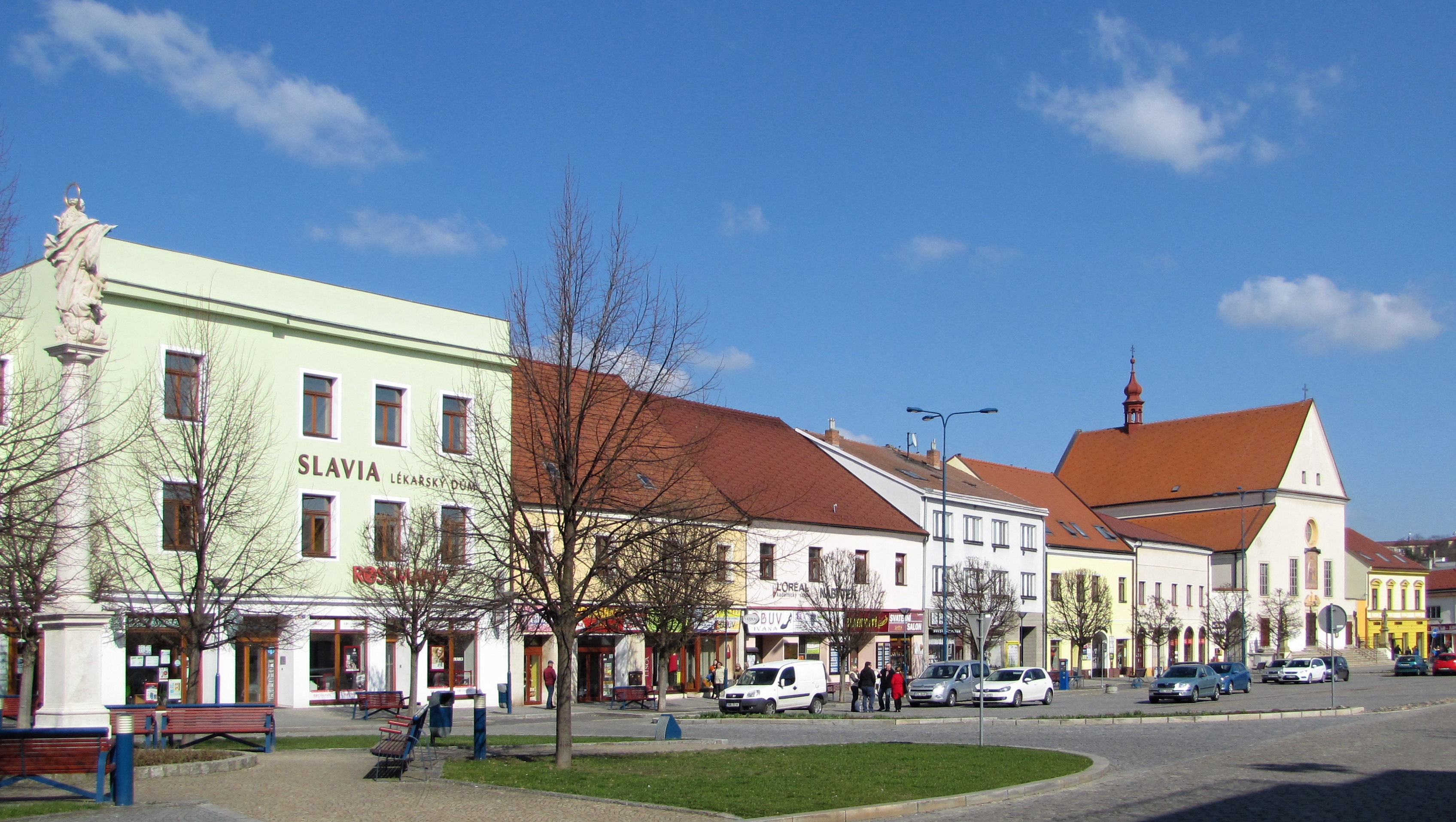
| Description | Severní strana Masarykova náměstí v Kyjově, vlevo sloup Panny Marie, vpravo kostel Nanebevzetí Panny Marie |
| Date | |
| Source | Own work |
| Author | Radek Linner |
| Camera location | | View this and other nearby images on: OpenStreetMap |
|---|
Licensing
[edit]
This file is licensed under the Creative Commons Attribution-Share Alike 3.0 Unported license.
Attribution: Radek Linner
- You are free:
- to share – to copy, distribute and transmit the work
- to remix – to adapt the work
- Under the following conditions:
- attribution – You must give appropriate credit, provide a link to the license, and indicate if changes were made. You may do so in any reasonable manner, but not in any way that suggests the licensor endorses you or your use.
- share alike – If you remix, transform, or build upon the material, you must distribute your contributions under the same or compatible license as the original.
File history
Click on a date/time to view the file as it appeared at that time.
| Date/Time | Thumbnail | Dimensions | User | Comment | |
|---|---|---|---|---|---|
| current | 16:35, 26 March 2017 | | 3,391 × 1,914 (2.58 MB) | Radek Linner (talk | contribs) | VicuñaUploader 1.20 |
You cannot overwrite this file.
File usage on Commons
The following 44 pages use this file:
- User:Radek Linner/gallery
- Category:Association football in Hodonín District
- Category:Births in Hodonín District
- Category:Bodies of water in Hodonín District
- Category:Bridges in Hodonín District
- Category:Burials in Hodonín District
- Category:Cemeteries in Hodonín District
- Category:Churches in Hodonín District
- Category:Cities in Hodonín District
- Category:Cultural monuments in Hodonín District
- Category:Culture of Hodonín District
- Category:Deaths in Hodonín District
- Category:Fortified houses in Hodonín District
- Category:Geography of Hodonín District
- Category:Hill forts in Hodonín District
- Category:Hodonín District
- Category:Hydraulic structures in Hodonín District
- Category:Jewish cemeteries in Hodonín District
- Category:Judaism in Hodonín District
- Category:Maps of Hodonín District
- Category:Mills in Hodonín District
- Category:Municipalities in Hodonín District
- Category:Museums in Hodonín District
- Category:Natural monuments in Hodonín District
- Category:Nature parks in Hodonín District
- Category:Nature reserves in Hodonín District
- Category:Observation towers in Hodonín District
- Category:Organizations of Hodonín District
- Category:Ponds in Hodonín District
- Category:Quarries in Hodonín District
- Category:Rail transport in Hodonín District
- Category:Religion in Hodonín District
- Category:Reservoirs in Hodonín District
- Category:Rivers of Hodonín District
- Category:Schools in Hodonín District
- Category:Sports clubs in Hodonín District
- Category:Sports in Hodonín District
- Category:Stations of the Cross in Hodonín District
- Category:Streams in Hodonín District
- Category:Structures in Hodonín District
- Category:Synagogues in Hodonín District
- Category:Transport in Hodonín District
- Category:Watermills in Hodonín District
- Category:Windmills in Hodonín District
File usage on other wikis
The following other wikis use this file:
- Usage on ca.wikipedia.org
- Usage on ce.wikipedia.org
- Usage on de.wikipedia.org
- Usage on es.wikipedia.org
- Usage on hu.wikipedia.org
- Usage on hy.wikipedia.org
- Usage on ko.wikipedia.org
- Usage on lmo.wikipedia.org
- Usage on pl.wikipedia.org
- Usage on ru.wikipedia.org
- Usage on sr.wikipedia.org
- Usage on ur.wikipedia.org
- Usage on vi.wikipedia.org
- Usage on www.wikidata.org