File:Maryina Roshcha District, Moscow, Russia - panoramio (9).jpg
Jump to navigation
Jump to search

Size of this preview: 800 × 535 pixels. Other resolutions: 320 × 214 pixels | 640 × 428 pixels | 1,024 × 685 pixels | 1,280 × 856 pixels | 2,158 × 1,444 pixels.
Original file (2,158 × 1,444 pixels, file size: 2.59 MB, MIME type: image/jpeg)
Captions
Captions
Add a one-line explanation of what this file represents
Summary
[edit].jpg&action=edit§ion=1)
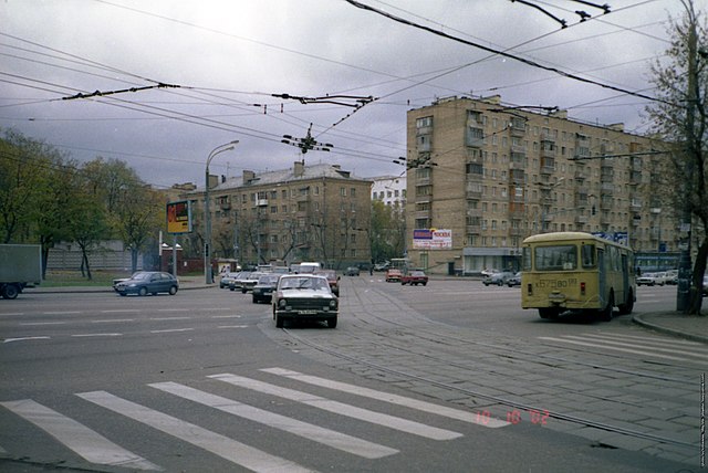
| Description | Пересечение Тихвинской (на переднем плане) и Двинцев (на дальнем) с Сущёвским Валом. Сейчас здесь проходит ТТК, а когда-то - до 1 ноября 2002 - по Двинцев проходил трамвай. | ||
| Date | Taken on 10 October 2002 | ||
| Source | https://web.archive.org/web/20161029214606/http://www.panoramio.com/photo/95288294 | ||
| Author | Svetlov Artem | ||
| Permission (Reusing this file) |
This file is licensed under the Creative Commons Attribution 3.0 Unported license. Attribution: Svetlov Artem
|
||
| Tags (from Panoramio photo page) | Moscow, 2009 |
| Camera location | | View this and other nearby images on: OpenStreetMap |
|---|
.jpg¶ms=055.792280_N_0037.599195_E_globe:Earth_type:camera_source:Panoramio_&language=en)
File history
Click on a date/time to view the file as it appeared at that time.
| Date/Time | Thumbnail | Dimensions | User | Comment | |
|---|---|---|---|---|---|
| current | 03:00, 1 March 2017 | | 2,158 × 1,444 (2.59 MB) | Panoramio upload bot (talk | contribs) | == {{int:filedesc}} == {{Information |description=Maryina Roshcha District, Moscow, Russia |date={{Original upload date|2013-08-27}} |source=http://www.panoramio.com/photo/95288294 |author=[http://www.panoramio.com/user/5441114?with_photo_id=95288294 S... |
You cannot overwrite this file.
File usage on Commons
The following page uses this file:
.jpg&oldid=865845322)