File:Marshlane.jpeg
Jump to navigation
Jump to search
No higher resolution available.
Marshlane.jpeg (640 × 480 pixels, file size: 91 KB, MIME type: image/jpeg)
Captions
Captions
Add a one-line explanation of what this file represents
Summary
[edit]| Description |
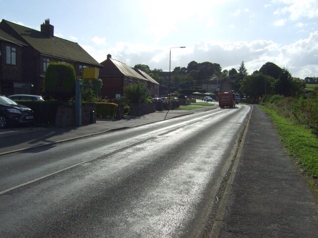
English: A photo of the Main Road in Marsh Lane, Derbyshire, UK. |
||||
| Date | |||||
| Source | Geograph | ||||
| Author | JThomas | ||||
| Permission (Reusing this file) |
This file is licensed under the Creative Commons Attribution-Share Alike 2.0 Generic license. Attribution: JThomas
|
||||
| Attribution (required by the license) | JThomas / Main Road (B6056), Marsh Lane / | ||||

| Camera location | | View this and other nearby images on: OpenStreetMap |
|---|
_heading:270.00&language=en)
| Object location | | View this and other nearby images on: OpenStreetMap |
|---|
_heading:270.00&language=en)
File history
Click on a date/time to view the file as it appeared at that time.
| Date/Time | Thumbnail | Dimensions | User | Comment | |
|---|---|---|---|---|---|
| current | 23:10, 20 May 2015 | | 640 × 480 (91 KB) | SteelCitySheffield (talk | contribs) | {{Information |Description=Marsh lane, main road |Source= http://www.geograph.org.uk/photo/4311361 |Date= 21/05/15 |Author= J. Thomas |Permission= <div xmlns:cc="http://creativecommons.org/ns#" xmlns:dct="http://purl.org/dc/terms/" about="http://s0.geo... |
You cannot overwrite this file.
File usage on Commons
There are no pages that use this file.